
Filters
123 results

123 results found
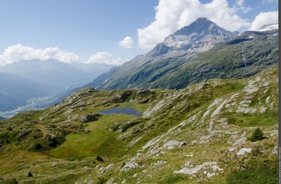
Walking hike
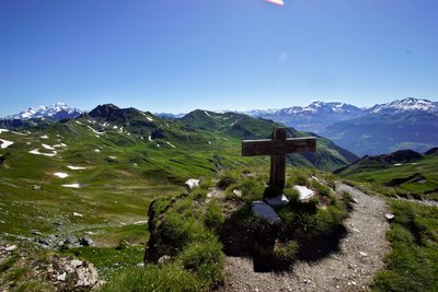
AUSSOIS
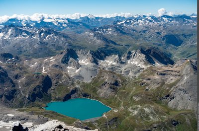
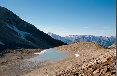
Lac du Génépy
Flora
Geology
Lake and glacier
- Challenging
- 6h30
- 14,3km
- +915m
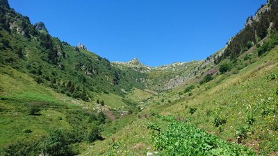
Walking hike
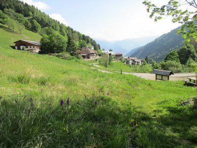
LA LECHERE
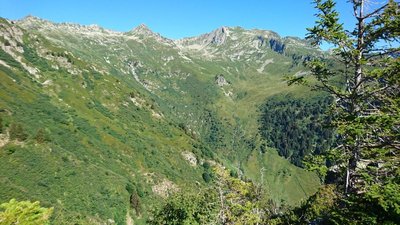
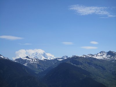
Loop of Arpettaz (B18)
Flora
Pastoralism
Viewpoint
- Easy
- 2h
- 7,3km
- +408m
Loading