
Loop of Pissus (B1)
Description
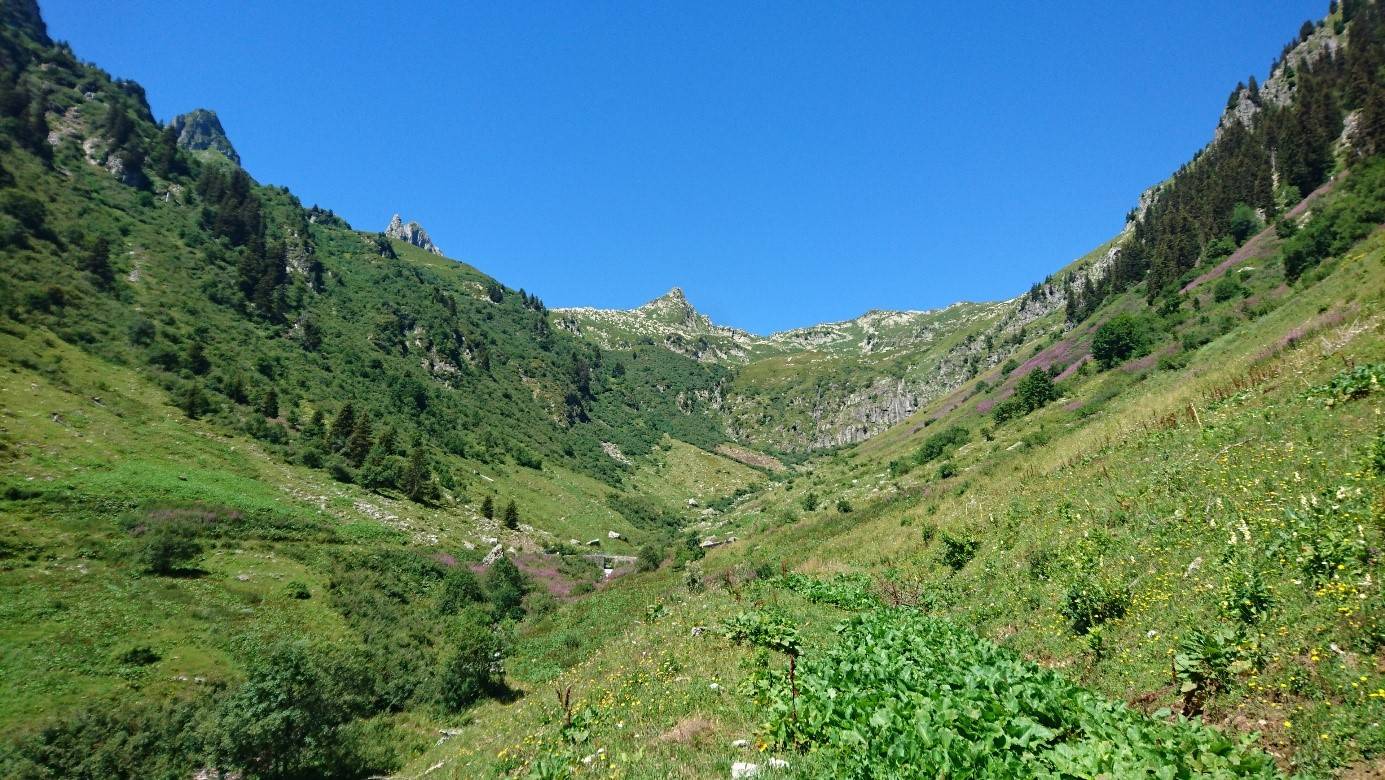
The landscape is grandiose, the Massif gives this place all its mineral dimension, it overhangs you from its most beautiful summits such as the Pointe des Marmottes noires 2339 m and Combe Bronsin 2499 m.
After taking the path at the start of the Gelon bridge which leads to the summits, continue to the right towards the Pissus refuge. Go up the valley of the Villard stream. Once at the 1965m point, follow the contour line to the left until you reach the 1970m mark. Continue in the direction of the Chalet de la Cave du Villard.
From the Chalet, go up the mountain pasture to the Lac du Loup while respecting the possible presence of the Tarines cows so as not to turn their milk which could turn into Beaufort faster than expected! This wetland is home to the Alpestre newt and feeds the Haut Gentil stream. It is characteristic of our siliceous mountains of the Northern Alps.
Return to the Chalet and continue to the right. Follow the Haut Gentil stream before turning left and joining the Gelon bridge by a gentle descent.
- Departure : Parking, Gelon bridge
- Arrival : Parking, Gelon bridge
- Towns crossed : BONNEVAL-TARENTAISE
Forecast
Altimetric profile
Access and parking
From Albertville, RN90 (exit 36), D990 (through Feissons-sur-Isère) then left on D66 (towards Pussy/Bonneval/Celliers). Turn right onto D213 and continue on the mountain road. Cross the village of Bonneval and continue to the car park of Gelon.
From Moûtiers, RN90 (exit 36), turn left onto D990 then left again onto D66 (towards Pussy/Bonneval/Celliers). Turn right onto D213 and continue on the mountain road. Cross the village of Bonneval and continue to the car park of Gelon.
Parking :
Route planner
Accessibility
- Emergency number :
- 114