
Filters
72 results

72 results practice: Walking hike
Walking hike
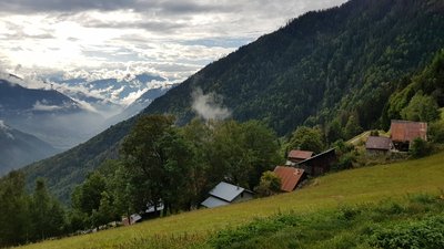
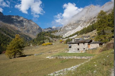
SAINT-ANDRE
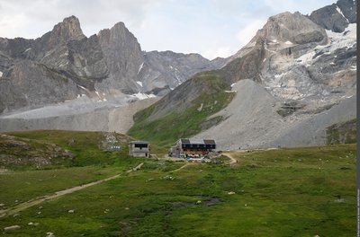
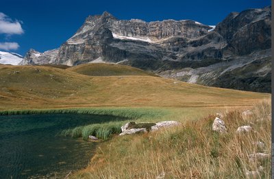
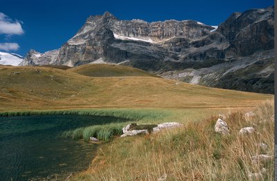
Around Polset
Architecture
Fauna
Geology
- Easy
- 4h30
- 5,7km
- +296m
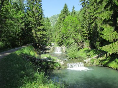
Walking hike
AUSSOIS
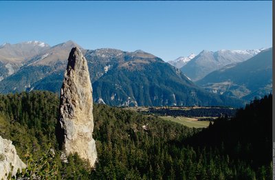
Between the monolith of Sardières and the Chappe telegraph
Architecture
Flora
Geology
- Very easy
- 4h30
- 7,7km
- +530m
Loading