Along the water (B23)
Description
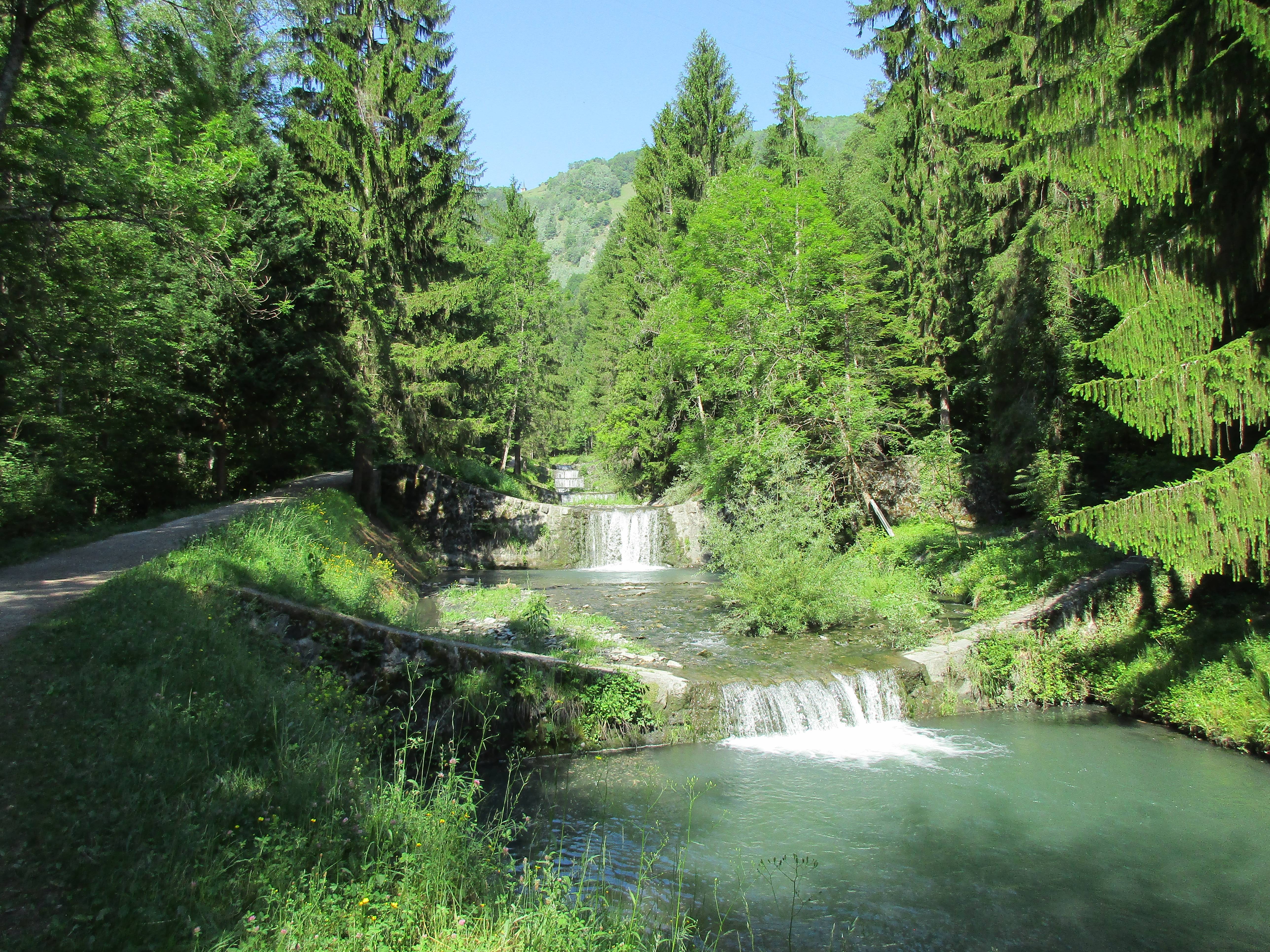
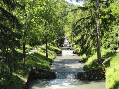
From to Aigueblanche Bridge, take a stroll on the flat path along the Isère River where a few benches are available. Where the water bed meets the river Morel, take a left turn onto a little path under the trees which follows the dozens of small waterfalls. Arriving at the Bellecombe Bridge, continue on the right bank of the Morel where a guided botanic trail and a picnic area await.
A lookout ends the path and allows a fantastic view of the Morel Waterfall, falling over 80 meters high.
Continue the path in the woods to view the landscape over the ‘Saint-Oyen’ village and the lower ‘Tarentaise’ Valley. The village is then joined before delving into the ‘Bois Chaniet’ forest thanks to a shaded path where the curious will find many varieties of animals, birds or insects.
A slight slope then joins once again the Isère river, through the thermal park of ‘La Léchère-les-Bains’. The same flat path first used loops back to the Aigueblanche Bridge.
- Departure : Aigueblanche, Isère Bridge
- Arrival : Aigueblanche, Isère Bridge
- Towns crossed : AIGUEBLANCHE, SAINT-OYEN, and LA LECHERE
Forecast
Altimetric profile
Information desks
Access and parking
From Albertville, RN90 (exit 37), RD97 (through La Léchère), then RD97A (through Bellecombe), then RD94 until the Isère Bridge where there is a car park on your left.
From Moûtiers, RN90 (exit 38), RD92 (through d'Aigueblanche), then RD94 (Isère Bridge) where there is a car park on your right.
Parking :
Accessibility
- Emergency number :
- 114
3 points of interest

Sentier d'interprétation du Morel - OTVVA  History
Morel interpretation trail
Within easy reach of your route is an enjoyable trail telling you a bit about the history of the Morel, which wasn't always the tranquil stream you see today! Find out how our ancestors excelled in ingenuity in their efforts to protect their communities from this once turbulent and raging watercourse of the Aigueblanche Valleys! A comprehensive factsheet on "Le torrent du Morel" is on sale in the tourist offices of Valmorel and Doucy (€5).
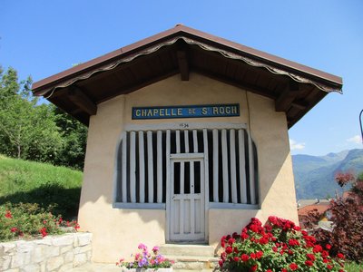
La chapelle Saint Roch de Saint Oyen - CCVA  Small heritage
Old village of Saint Oyen
The pretty village of Saint-Oyen nestles on the left sloping banks of the Morel, a tributary of the River Isère, at an altitude of 586m. It is named after its patron saint Eugendus (Oyend in French); this applies for the three villages of Saint-Oyen in the Aosta Valley, Saint-Oyens in the canton of Vaud and Saint-Oyen in the Tarentaise area. It overlooks Aigueblanche basin. Steeped in a rich past and a longstanding tradition in these Alpine valleys, the village boasts two chapels, Saint-Roch and Notre-Dame-du-Puits, and a Baroque-style church (17th century).
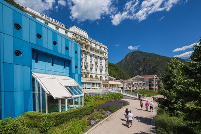
Les thermes de la Léchère les Bains - PJAC  Water
WaterLa Léchère Les Bains thermal baths
In 1897, a solicitor from Albertville founded the first baths in La Léchère after discovering the springs in 1869. It was a gamble that paid off as today, this resort located at an altitude of 440m has become an acclaimed spa complex.
Water type: hyperthermal, sulfated, calcic and magnesic with pain-relieving, sedative and soothing properties. 3 therapeutic focuses: rheumatology, phlebology and gynaecology.
https://www.thermes-la-lechere.fr/
