
Loop of Dzonfié (B10)
Description
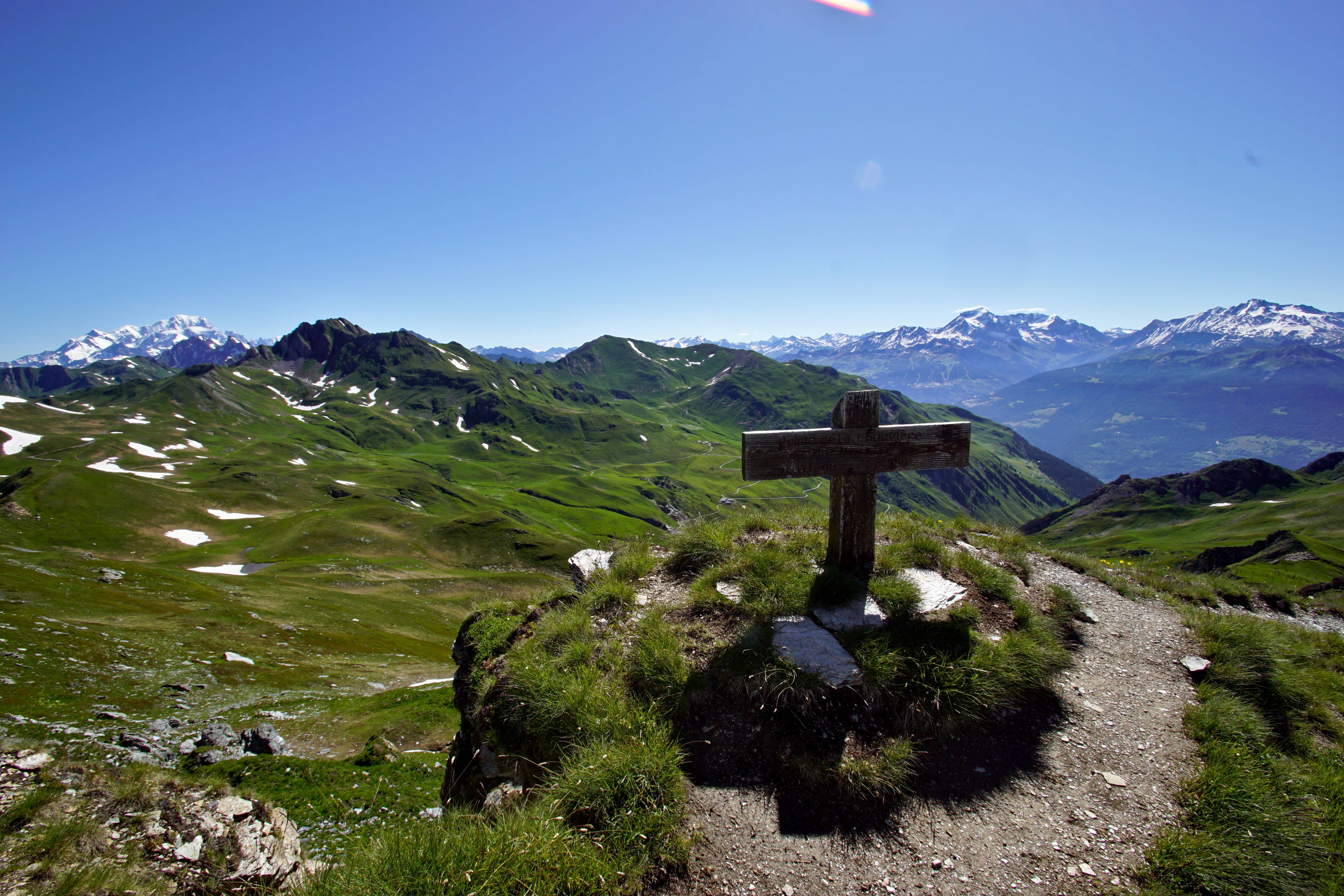
Start from the Nant du Beurre refuge. After a first start through the alpine pastures, take a right turn at the Rochers Blancs (White Rocks, 2250m). Follow the steep uphill path until the Dzonfié ridge and peak (2 455 m). Walk along the crest line which offers a 360° view over the Lauzière, the Beaufortain and the Bauges on one side and the Vanoise and the Mont Blanc on the other.
Continue along the crest facing the Madeleine Col and the Cheval Noir Peak (Black Horse) until reaching the Vâ Col (2 222 m).
Take a right hand turn and keep on until Sur Beauregard (2 000 m), a slight uphill incline takes you back to the Nant du Beurre refuge.
- Departure : Shelter of Nant du Beurre
- Arrival : Shelter of Nant du Beurre
- Towns crossed : LA LECHERE and AIME-LA-PLAGNE
Forecast
Altimetric profile
Recommandations
Unadvised for beginners because of its steep inclines.
Some parts are technically difficult, slippery and close to the edge, do not attempt this hike under wet weather.
Many sections are through exposed paths: necessary sun protection is strongly advised.
Information desks
Access and parking
From Albertville, follow the N90, take exit 37 towards La Léchère and continue on the D990. After the Carbone Savoie factory, take a left turn on ‘rue de la Digarde’. Go through Petit Cœur and keep on the D93 to Nâves. Go through Nâves until arriving at the Tovet car park.
From Moutiers, follow the N90 and take exit 37 towards Petit Cœur. Go through the hamlet and keep on the D93 to Nâves. Go through Nâves until arriving at the Tovet car park.
Parking :
Route planner
Accessibility
- Emergency number :
- 114