
Filters
72 results

72 results practice: Walking hike
Walking hike
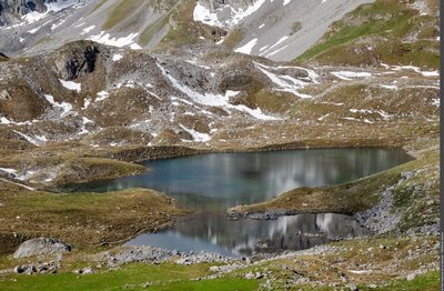
PRALOGNAN-LA-VANOISE
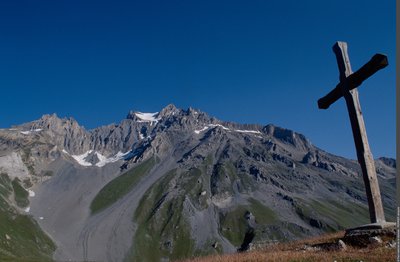
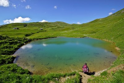
Petit Mont-Blanc and the Merlets Lakes
Fauna
Viewpoint
Summit
- Easy
- 2j
- 24,8km
- +1679m
Walking hike
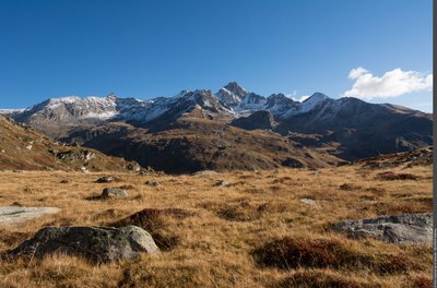
AUSSOIS
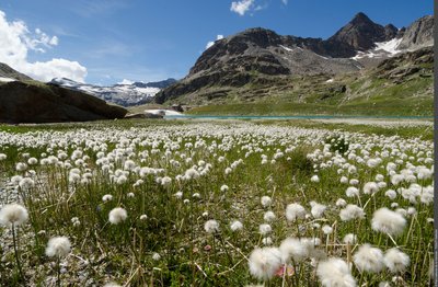
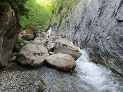
Plateau du Mauvais Berger
Pastoralism
Viewpoint
- Easy
- 4h30
- 9,6km
- +578m
Walking hike
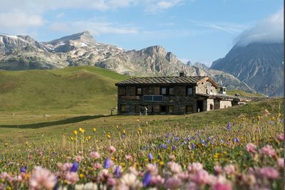
VILLAROGER
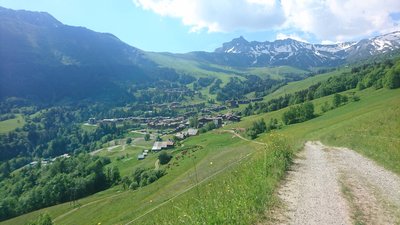
Refuge de Turia
Fauna
Pastoralism
Refuge
- Easy
- 3h
- 7,7km
- +791m
Walking hike
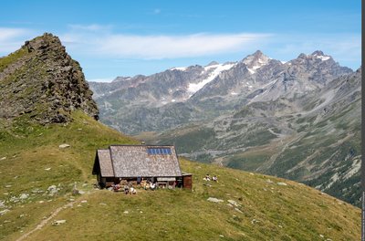
LA LECHERE
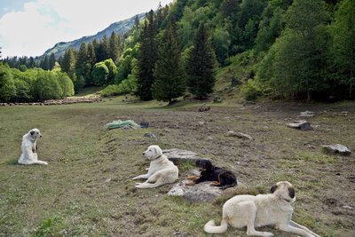
The Big House (B8)
Flora
Pastoralism
Refuge
- Easy
- 5h
- 13,4km
- +523m
Loading