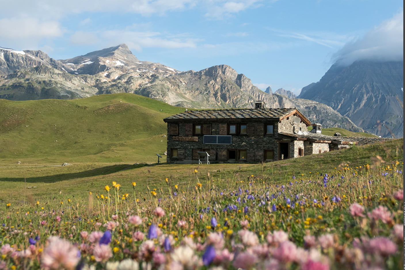
Refuge de Plan du Lac atop the plateau

VAL-CENIS
Refuge de Plan du Lac atop the plateau
Very easy
1h
4,5km
+97m
-98m
Loop
Embed this item to access it offline
At the beginning of June at the Refuge de Plan du Lac, there are about twenty of us national park agents, still misty eyed. It is 3:30 in the morning, the night at the refuge was short. Today the ptarmigans are being counted. These birds are so discreet that to get an idea of their number, we count them by ear. We count the singing males and, of course, they sing at dawn! At 4:30, everyone is in place, it is - 5 ° C and it bites a little! The first characteristic raucous songs are heard. The count lasts barely more than an hour and then we can gaze upon the orange summit of the Dent Parrachée as it is caressed by the first rays of sun. Some roosters still sing or fly into their competitor’s territory. Soon all the domes of the Vanoise will be glowing red. Didier Malrat, Vanoise National Park ranger.
Description
Leave from Bellecombe car park. Take the GR®5 in the direction of the “Refuge de Plan du Lac”. The first 300 metres of the walk provide access to the Plan du Lac plateau passing over a small gorge dug out by the lake’s outflowing stream. Ÿou immediately find yourself in the heart of the alpine grasslands inhabited by some domestic herds of sheep and cows grazing under the eyes of numerous marmots. On the right of the trail, the scree colonised by rhododendrons and dwarf junipers are refuge to the discrete rock ptarmigan. On the left, the hilly terrain of the plateau is home to several small lakes, including Plan du Lac, next to the trail. The view opens on to the south face of the Grande Casse (3,855 m in altitude), the highest peak of the Vanoise and of all the Vanoise glaciers. After a small pass, the trail descends towards the refuge. Variation: Take the paved pastoral road reserved for alpine farmers and professionals, easy for wheelchairs and pushchairs to move over. People with disabilities can access the refuge by car (reserved parking at the back of the refuge) by requesting in advance a traffic licence at the National Park’s office located at Termignon.
- Departure : Bellecombe car park, Termignon
- Arrival : Bellecombe car park, Termignon
- Towns crossed : VAL-CENIS
Forecast
Altimetric profile
Recommandations
Variation: Caution on the pastoral road Traffic licence to be requested in advance for direct access to the refuge for people with disabilities.
Is in the midst of the park
The national park is an unrestricted natural area but subjected to regulations which must be known by all visitors.
Information desks
Maison de la Vanoise, Place de la Vanoise, Termignon, 73500 Val-Cenis
Vanoise Information Desk - Termignon
Place Vanoise, 73500 Termignon
Transport
"
Rail connection to Modane. Information: www.voyages-sncf.com
Then transport by coach to the administrative centre of Termignon. Information: www.transavoie.com
Then free shuttle bus Termignon-Bellecombe, from July to August and the weekends from 15th June to 14th September.
Shuttle bus information: www.termignon.haute-maurienne-vanoise.com/pratique/se-deplacer-sans-voiture
Suggested hitchhiking organised in the Haute-Maurienne valley. Information: www.rezopouce.fr
"Access and parking
From Termignon, head in the direction of Lanslebourg. Go on for about 500 m, then at the hairpin bend,
cross the main road and head in the direction of Bellecombe car park.
Parking :
In summer, park at Termignon, then take the free shuttle bus to Bellecombe. In the off season, park at Bellecombe car park.
Accessibility
Refuge-Porte de Plan du Lac certified “Accessible tourism” for the 4 types of disability. Interpretive space and audio-tactile tool to facilitate access to knowledge by those partially sighted and blind. The refuge is open from the beginning of June to the end of September, and has a permanent caretaker to ensure the reception and management of the refuge.
- Emergency number :
- 114
4 points of interest

Plan du Lac - Nathalie TISSOT  Lake
LakeThe Plan du Lac
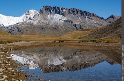
The Plan du Lac is a grassland lake. The banks are alive with rushes and sedges. The bottom is lined with stoneworts, edged by some broad-leaved pondweed. The lake is stocked with brown trout and schools of minnows wander here and there. It’s a good breeding ground for the common frog. The permeability of the limestone substratum leads to a significant drop in the water level at the end of the season.
 Pastoralism
At Plan du Lac
The pastoral road which passes in front of the Refuge de Plan du Lac serves the various alpine pastures where the farmers graze their herds of cows and sheep. This is where Beaufort, Tome de Savoie and Bleu de Termignon are made. This road is an old communication and trade route between the valleys of Tarentaise and Maurienne, via the Col de la Vanoise that links Pralognan-la-Vanoise to Termignon. It’s the “salt and cheese road”.
Le refuge-porte PNV du Plan du Lac à l'aube. Vue sur le Dôme de l'Arpont. Termignon. - PNV - DELORME Michaël  Refuge
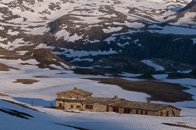
The Refuge-Porte de Plan du Lac
The Refuge-Porte de Plan du Lac has been certified “Accessible Tourism” for the 4 disability types. Advantageous features:
1- Complementarity between high-mountain catering and accommodation and a place of interpretation;
2- Located in the heart of the oldest of the French national parks;
3- A visual perspective close to 360° over the glaciers and the highest peaks of Vanoise including La Grande Casse (3855 m);
4- Immersion in nature at more than 2,300 m in altitude.
Refuge with 42 beds, 1 room and 1 sanitary facility for disabled people.
 Viewpoint
The panorama
From the Refuge-Porte de Plan du Lac, a 360° panorama of the peaks and glaciers. To the west, the glaciers or domes of the Vanoise, plateau glaciers extending from the Dent Parrachée to the Pointe de la Rechasse over nearly 13 km and 30 km2. To the north, the Grand Casse culminates at 3,855 m (highest summit in Savoy). To the east, the small bell towers of Lanserlia at the foot of which are the rocky glaciers. An information table about the surrounding landscape is located on the interpretative space outside the refuge.
