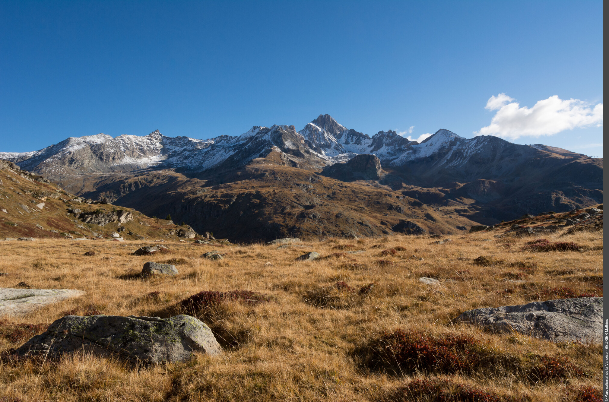
Plateau du Mauvais Berger
I remember one autumn morning when only the grouse disturbed the silence of the alder tree. When I arrived at the Col du Barbier before sunrise, there was a high altitude cloud ceiling. When the sun rose from the crests of the Italian border, its rays lit the clouds, setting the alpine pastures and walls of the Rateau d´Aussois ablaze with orange and hues of purple. There was not a soul in sight, just silence. It was magnificent. Pierre Lacosse, Vanoise National Park ranger
Description
- Departure : Car park at the Plan d’Amont dam (Aussois)
- Arrival : Car park at the Plan d’Amont dam (Aussois)
- Towns crossed : AUSSOIS
Forecast
Altimetric profile
Recommandations
Information desks
Transport
Rail connection to Modane. Information: www.voyages-sncf.com
Then transport by coach to the administrative centre of Aussois. Information: www.transavoie.com
No public transport between Aussois and the dam site.
Suggested hitchhiking organised in the Haute-Maurienne valley. Information: www.rezopouce.fr
Access and parking
At Modane, take the D 215 in the direction of Aussois. Once you’ve arrived in Aussois, go to the top of the village and take the small road that rises towards the dams. Leave a panoramic viewpoint on the left and take a steep road on the right for 100 m to reach the dam.
Parking :
More information
8 points of interest
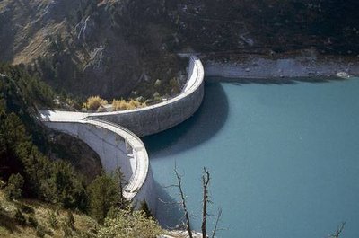
Barrage hydro-électrique de Plan d'Aval. - PNV - FOLLIET Patrick  Architecture
The Plan d’Aval Dam
"Crossing the dyke of the Plan d´Aval dam, you will notice its double vault construction standing on a rocky bastion. The dam is made of cut stone, part of which comes from the old quarry, known as the ""tile"" which now contains the car park. Built between 1945 and 1956, these two water reservoirs are integrated into the Haute-Maurienne hydrœlectric system and help to fill the Mont-Cenis dam."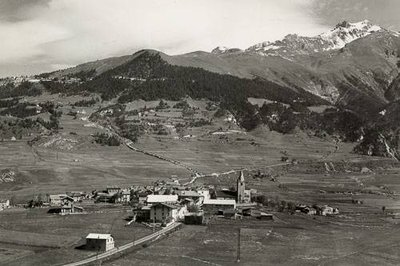
Aussois, vue générale, la Dent Parrachée (3712), barrage de Plan d'Aval (1950), 1953 Carte Jansol. - PNV  Viewpoint
View over the village of Aussois
Ÿou have already climbed 150 m, enjoy a short break on this sloping ledge within a hairpin bend to the left. A superb view over the village of Aussois awaits you. With the help of the photo, you will be able to see that the old village was concentrated over a few roads. The area was preserved for hay meadows and crops. The wooded areas, then, occupied little space on this slope which was used entirely for agriculture.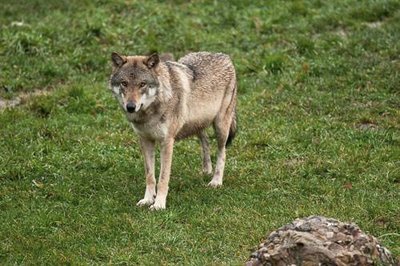
Loup. - PNV - DELORME Michaël  Fauna
FaunaThe wolf
The wolves inhabiting the valley come from Italy and hence are called Abruzzo wolves. They are distinguished by their white mask and black line on the tibia. The wolves live in packs of 2 to 5 on average. The wolf is a carnivore which feeds mainly on ungulates such as deer or chamois. Only the dominant pair of the pack breeds. The cubs are born in a den in late spring. Although the preferred habitat of the wolf is the forest, it ventures into the alpine pastures in search of easy prey such as flocks of sheep.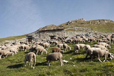
Au 1er plan, transhumance des brebis vers le Col du Barbier sur le sentier GR5 et chalet du Barbier. - PNV - BEURIER Mathieu  Pastoralism
Goats and sheep
On this alpine pasture of the “mauvais berger” goats and sheep are to be found. The goats are dairy cattle that descend the pasture every evening to be milked. Their milk is used for the local production of cheese. The lambs and sheep are sent to the meat industry. The lambs are born around March and grow all summer in the alpine pastures. Only the breeding ewes are kept in the sheepfold for winter. The Mauvais Berger flock consists of animals from several different owners. Pooling the flocks means the costs of herd care are shared.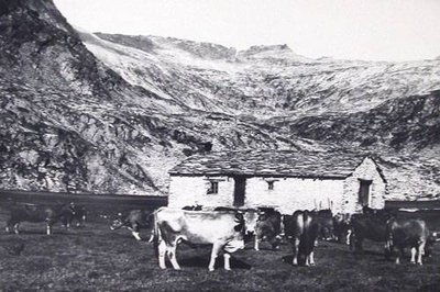
PNV  Viewpoint
The Fond d’Aussois and the dams
The two dammed lakes occupy the site of two ancient alpine pastures. A project for a third lake was to be used to flood the Fond d´Aussois pasture. These three successive plateaus are the result of fillings by the glacial basin. Three shallow lakes were to exist at the melting of the glaciers. They were filled by fluvio-lacustrine deposits to then become these hospitable alpine pastures. The photo shows the two alpine pastures of Plan d´Aval and Plan d´Amont crossed by the gentle mountain stream of Saint-Benoit.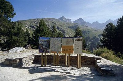
Le point d'information sur site (PIS) de Plan d'Amont. Vue vers nord-est. - PNV - BRÉGEON Sébastien  History
Vanoise National Park
“Here there is space. Here there is pure air. Here there is silence. The kingdom of flawless dawns and naive beasts...”. It was with these words that Samivel wrote the commandments of the National Park upon its creation in 1963. Ÿou enter a protected area, “the great garden of the French” which it is your responsibility to protect. The regulations are displayed on the various panels intended for hikers.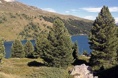
Pins cembro autour du lac du barrage hydro-électrique de Plan d'Amont. - PNV - MOUSSIEGT Karine  Flora
FloraThe cembra pine
The pinus cembra is comprised of the cembro or arolla pine. The hardwood is used in cabinet-making. Its long needles, in ascicles of five, make it easily recognisable. Mountaineers consume the cones or seeds, competing with the spotted nutcracker. The cembro pine climbs up to 2,300 m and is fond of acid soil and varied orientations. Together with the rhododendron, bilberries and cranberries, it constitutes the forest boundary.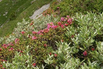
Lande à rhododendron ferrugineux et saule glauque, surplombant le hameau de Chollière. Commune de Pralognan la Vanoise. - PNV - GOTTI Christophe  Flora
FloraRhodora
This shrub adorns the mountain with the most beautiful colours from mid-June until the end of July. In Greek, Rhododendron means “red tree” and its ferruginous qualities come from the rusty colour of the underside of its leaves. The rhododendron finds it is perfectly at home on the slopes where the snow persists and thereby offers it protection against the frost.
