
Filters
123 results

123 results found
Walking hike
LES ALLUES
Col du Soufre
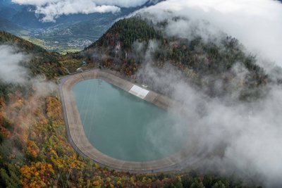
Lake and glacier
- Difficult
- 9h
- 23,3km
- +1173m
Mountain bike (electric)
AIME-LA-PLAGNE
Cultural trail taking in the hamlets
Architecture
Flora
History
Lake and glacier
Pastoralism
Viewpoint
- Easy
- 2h30
- 27km
- +719m
Mountain bike (electric)
AIME-LA-PLAGNE
Discovering the treasures of the Versants du Soleil
Architecture
Geology
Pastoralism
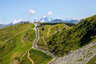
Viewpoint
- Easy
- 3h
- 31,5km
- +1176m
Mountain bike (electric)
LES AVANCHERS-VALMOREL
En route to the hamlets around Le Morel
History
Pastoralism
Viewpoint
- Difficult
- 3h
- 27,8km
- +1081m
Mountain bike (electric)
SAINT-BON-TARENTAISE
Explore the wilderness of the Avals valley
Pastoralism
Viewpoint
Refuge
- Difficult
- 3h30
- 22,3km
- +921m
Mountain bike (electric)
LA LECHERE
Exploring the highland pastures of Nâves Valley
Fauna
Flora
History
Pastoralism
Viewpoint
- Easy
- 2h30
- 21,4km
- +835m
Loading