Tour du Rateau d'Aussois
VILLARODIN-BOURGET
Tour du Rateau d'Aussois
Difficult
8h
15,7km
+1239m
-1239m
Loop
Embed this item to access it offline
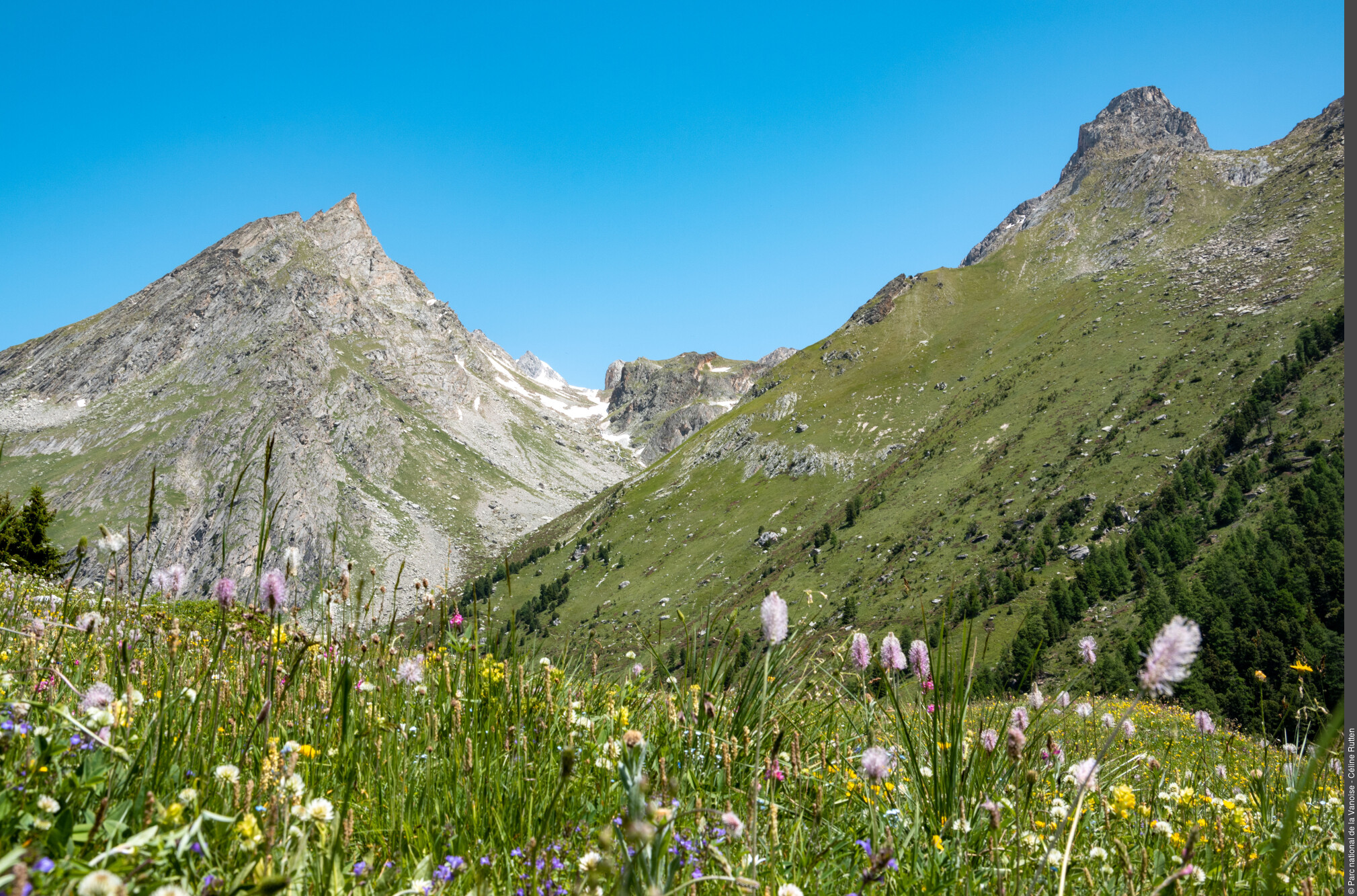
After zigzagging through the alpine pastures, you will be surprised to meet a mineral landscape specific to the high altitude. Ÿet by venturing further into these places, you will discover all the riches of the bright shimmering flowers and a discreet but ubiquitous fauna. This itinerary is filled with opportunities to see the fauna, perhaps leading you to encounter the ibex, surprise a ptarmigan or a mountain hare or see a bearded vulture.
Description
"Park at the Orgère car park, end of the road. Then take the old EDF track, located at the bottom of the car park. Follow the route for “Col de la Masse”. Pass a concrete bridge that straddles the Povaret stream to reach the foot of the Aiguille Doran. Continue along the trail, cross a wooden footbridge to cross the Masse stream, then continue on this winding trail until you reach a crossing. Turn left as indicated by the sign ""Col de la Masse"". At the pass, you can descend by the same route and shorten the journey time. The more adept can also reach the summit of the Rateau d’Aussois by a sparsely marked and steep path. Otherwise, continue the circuit by a relatively marked descent path and reach a vast sloping ledge: the Plateau du Mauvais Berger Then follow the sign for ""Col du Barbier"" and continue through a terraced path, passing through the Col du Barbier and chalets. Then go back down through the forest, then after a sloping ledge still in the forest go up slightly to return to the Orgère valley. Pass in the vicinity of the restored chalets, come to a stone bridge allowing you to cross the Povaret stream. Continue on, then cross a group of buildings, including a chapel on your left. Follow the markers for the discovery trail and climb through a Scots pine forest by a winding path. Come out on to a road, climbing back up to reach the car park where you departed."
- Departure : Orgère car park, Villarodin-Bourget
- Arrival : Orgère car park, Villarodin-Bourget
- Towns crossed : VILLARODIN-BOURGET and AUSSOIS
Forecast
Altimetric profile
Recommandations
Is in the midst of the park
The national park is an unrestricted natural area but subjected to regulations which must be known by all visitors.
Information desks
Maison Cantonale, 9 Place Sommeiller, 73500 Modane
Transport
"
Rail connection to Modane. Information: www.voyages-sncf.com
No public transport between Modane and Orgère car park.
Suggested hitchhiking organised in the Haute-Maurienne valley. Information: www.rezopouce.fr
"Access and parking
From the exit of the A43 motorway, take the direction of Modane. At the Freney roundabout, take the RD 106 towards the Refuge de l´Orgère which is signposted. After a 30 minute drive, pass the Refuge on your right to access the car park.
Parking :
Orgère car park, Villarodin-Bourget
Accessibility
Two disabled parking spaces, certified “Accessible Tourism” for the 4 types of disability.
- Emergency number :
- 114
More information
10 points of interest

 Fauna
FaunaThe red deer
As a result of hunting and logging, the deer had all but disappeared from the Savoy forests. Reintroduced between 1958 and 1973, it has adapted remarkably well to the mountain environment to form a fine population. In autumn the mating season gives rise to spectacular fighting between males, but it is the raucous and powerful cries of the deer that bring the valley to life. Taking advantage of the peacefulness of the place, the animals bellow practically all day long.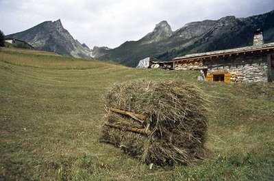
Ballotin de foin résultant de la fauche à la main autour des chalets de l'Orgère. - PNV - BREGEON Sébastien  Architecture
The chalets
"When most of the flat areas, more suitable for building chalets, were occupied, it was necessary to build on the slope, in areas more exposed to avalanches. Some chalets therefore had to be built with a specific architecture in order to resist avalanches: semi-buried, oriented in the direction of the slope and protected by a protective promontory called a ""tourne""."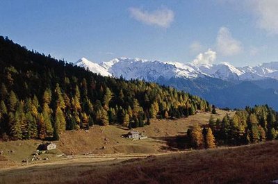
Chalets de l'Orgère et cembraie. - PNV - PERRIER Jacques  History
The Orgère valley
Orgère, where barley was grown. In past centuries, the need for pastures, hayfields and cultivated land on flat or slightly hilly areas forced man to deforest, even at high altitude. The right bank of the valley, presenting a gentler profile, was the most exploited. The rocks which clutter the plots are regularly placed in heaps, to form mounds of stones which still remain in the valley. Used during the summer, the valley was brought to life by about fifteen families and their little flock.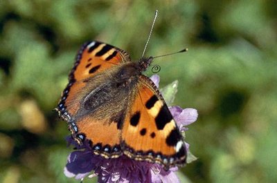
Petite tortue posée sur une fleur. - PNV - FOLLIET Patrick  Fauna
FaunaThe small tortoiseshell
The small tortoiseshell is the first butterfly to land on the flowers which are barely out of the snow. The caterpillars feed only on nettles. They can be seen on their leaves piled into bundles with their two yellow bands on their backs. The butterfly, on the other hand, is orange in colour, inlaid with ebony and hemmed with a ring of blue spots around the edge of the wings.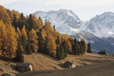
Chalets du vallon de l'Orgère en automne. - PNV - DEFRENNES Benoit  Flora
FloraThe colours of autumn
If you get the chance, do this hike in the autumn. The mélézin is adorned by beautiful golden hues. The large-fruit fireweed opens up to release a multitude of seeds surmounted by silky-white snow like threads. And higher up the ubac, the bilberry moors take on a beautiful red hue. Under the effect of the first frosts the alpine pastures are adorned with pretty warm colours that contrast sharply with the white of the first snows covering the summits.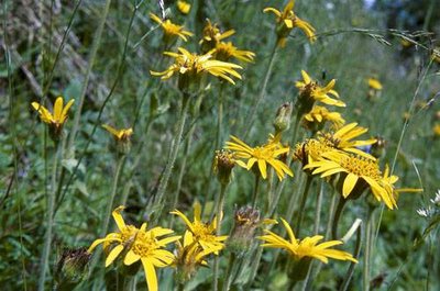
Station florale d'arnica des montagnes. (RN des Hauts de Villaroger) - PNV - BALAIS Christian  Flora
FloraMountain arnica
A true burst of sunshine, this yellow flower, daisy-like in appearance is rather common in the sub-alpine moorlands and grasslands. Best known for its medicinal properties, used in anointing, arnica is very effective in the resorption of haematomas. But be careful not to ingest this pretty flower as it is dangerously poisonous, even fatal.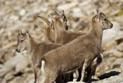
Bouquetin des Alpes : jeunes de l'année (cabris) d'environ 4 mois. - PNV - BEURIER Mathieu  Fauna
FaunaThe alpine ibex, a survivor
It is the Vanoise National Park’s signature species, which was at the very heart of its creation. Having practically disappeared from the entire Alps region, only a very few small population clusters remain in France in Maurienne, including one at the foothills of the Aiguille Doran. Thanks to the creation of the National Park and then the long-term endeavours to protect and reintroduce this species, the ibex has managed to recolonise many of the mountain ranges in the French Alps.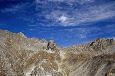
Partie supérieure du Vallon de la Masse. Vue sur le Col de la Masse et la Pointe de l’Échelle (à g.). Vue vers nord-est - PNV - BRÉGEON Sébastien  Pass
PassCol de la Masse
At the summit of the track, the Col de la Masse offers a 360° panoramic view with the Écrins, the Meige and the Pelvoux to the south, the Pointe de l´Échelle to the north, the Vanoise glaciers and the Dent Parrachée to the north-east, and right at the bottom, to the east, the Albaron!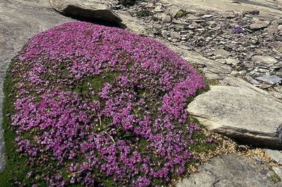
Silène acaule sur le Plateau de la Réchasse. - PNV - FOLLIET Patrick  Flora
FloraThe Silene acaulis
This high-altitude plant, easily recognisable by its violet colour, is particular for its cushion-like shape. This feature is particular to several high-mountain species and highly useful in resisting the cold and wind. This cushion-like flower, the oldest of which can reach more than 50 years, contributes to the creation of a micro-ecosystem which will then be exploited by other plant species, thereby contributing to plant colonisation.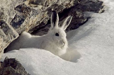
Lièvre variable en livrée hivernale. - PNV - MOLLARD Maurice  Fauna
FaunaThe mountain hare
Also known as the white hare, it has a rock-brown coloured coat in the summer and an all-white coat in the winter except for the tips of its ears. Smaller and rounder than the European hare, the mountain hare also has shorter ears and a thicker coat to limit heat loss. Its wider back paws act as snowshœs which allow it to move easily over the snow.
