Geotrek-rando
EN
FR
EN
Search
Open Menu
Menu
Language
FR
EN
Search
Offline content
Close Menu
Filters
1
Practice
Practice
Walking hike
Mountain bike (electric)
Trail
Difficulty
Very easy
Easy
Difficult
Challenging
Duration
0 - 1h
1h - 2h
2h - 5h
5h - 10h
Length
0 - 5km
5km - 10km
10km - 15km
15km - 50km
Ascent
0 - 500m
500m - 1000m
> 1000m
Type
Loop
Return
Crossing
Trekking
Accessibility
Wheelchair
Pushchair
Joëlette
Others
Is in the midst of the park
Themes
Themes
Fauna
Flora
Viewpoint
Architecture
Pastoralism
Geology
Lake and glacier
Summit
Refuge
History
1
Localization
Localization
District
Arves
Beaufortain
Belledonne
Lauzière
Maurienne
Mont-cenis
Parc national de la Vanoise
Tarentaise
Thabor
Vanoise
City
Clear all
19 results
19 results found
2
Filter
Search
Search
Display Map
LES AVANCHERS-VALMOREL
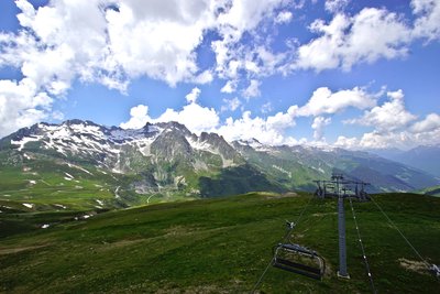
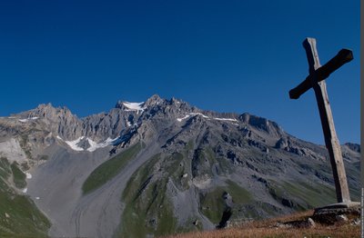
Madeleine pass (B25)
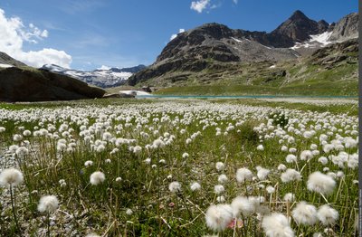
Flora
Summit
Viewpoint
Difficult
8h
17,1km
+905m
AUSSOIS
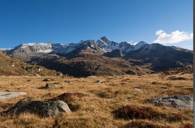
Plateau du Mauvais Berger
Pastoralism
Viewpoint
Easy
4h30
9,6km
+578m
VAL-CENIS
Terraced path of Turra in Loza
Fauna
Pastoralism
Viewpoint
Easy
6h
13,4km
+1008m
BONNEVAL-SUR-ARC
Terraced trail of Carro
Architecture
Lake and glacier
Pastoralism
Difficult
8h
18,6km
+722m
VILLARODIN-BOURGET
Tour du Rateau d'Aussois
Fauna
Flora
Pastoralism
Difficult
8h
15,7km
+1239m
VILLARODIN-BOURGET
Tour of Tête Noire and Lac de la Partie
Fauna
Flora
Pastoralism
Challenging
8h30
12,9km
+851m
BESSANS
Vallon de Bessans
Fauna
History
Pastoralism
Very easy
4h
9,1km
+610m
VILLARODIN-BOURGET
Vallon de l'Orgère
Architecture
Fauna
Flora
Very easy
3h30
4,3km
+197m
BONNEVAL-SUR-ARC
Walk to La Duis
Architecture
Flora
Pastoralism
Very easy
2h30
6,8km
+139m
Previous page
Loading