
Trail of Pointe du Dzonfié
Description
The first option (Nant du Beurre trail 2.7kms; 100m+), is a great way to discover the sport or to practice fractioned runs for regulars.
The second option (to reach the “Pointe du Dzonfié”), is a longer trail; 8.5km and 447m+.
Starting from the Nant du Beurre refuge (2080m), go towards the Rochers Blancs (2250m) which you’ll reach after 1.2km and 160m+.
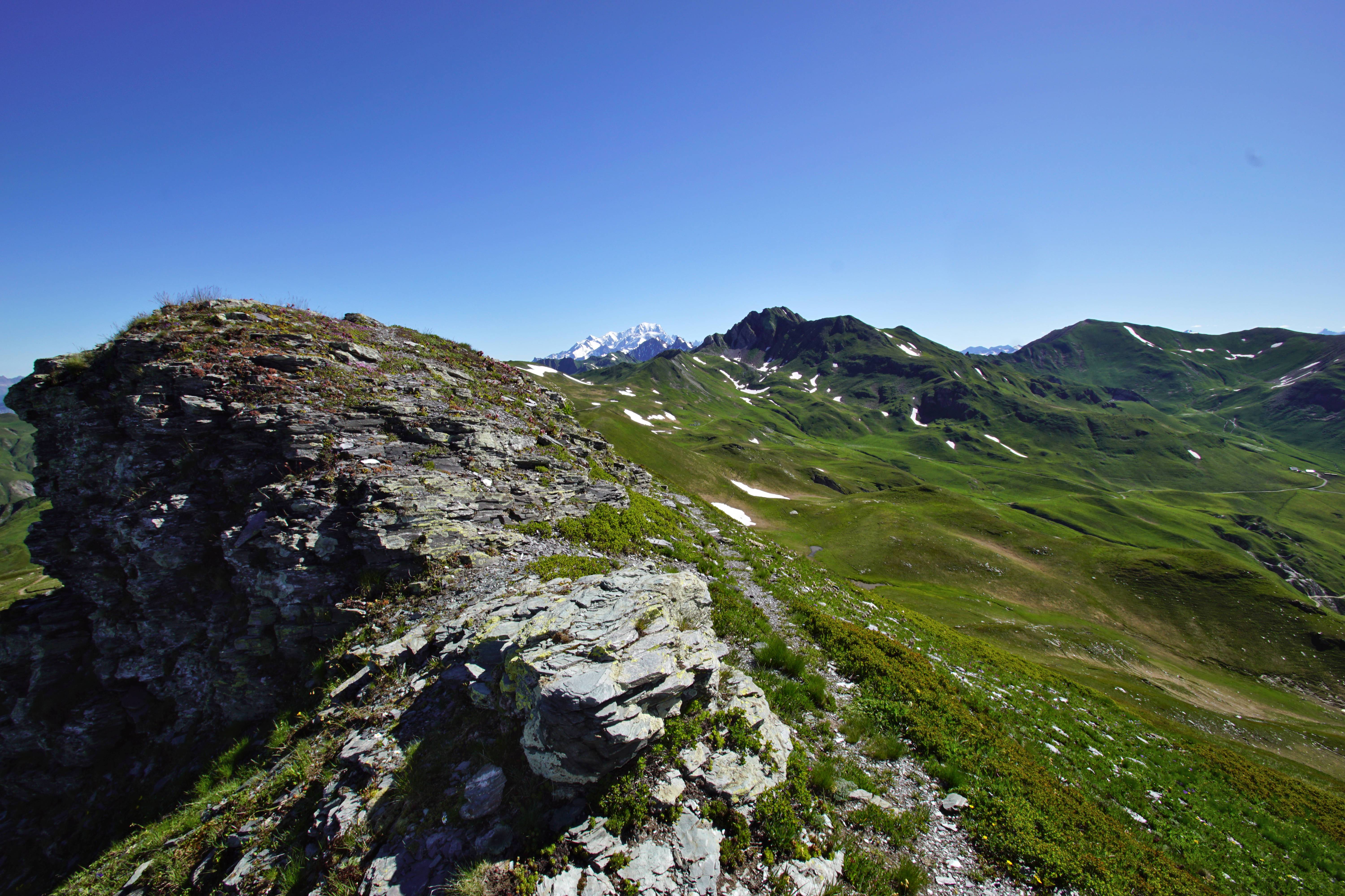
A single track takes you through a sub-alpine environment which has a great view of the Beaufortain Massif, the Valmorel glacial cirque, the Lauzière Massif and the Madeleine Col.
1.3 km and 220m+ further, after following the crest, you’ll reach the highest point of the trail, a few meters beneath the Dzonfié peak (2241m). The track then goes to the Và Col (2220m) over a slightly downhill slope; 3km and 21m-.
The way back to the refuge is also a single track, one of the big advantages of high altitude tracks. Back at the refuge, don’t hesitate to have a drink and make the most of the views on the sunny terrace.
- Departure : Nant du Beurre refuge
- Arrival : Nant du Beurre refuge
- Towns crossed : LA LECHERE and AIME-LA-PLAGNE
Forecast
Altimetric profile
Access and parking
From Albertville, follow N90, take exit 37 towards La Léchère and continue on D990. At the Carbone Savoie factory, take a left on rue de la Digarde. Go through Petit Cœur and continue on D93 towards Nâves. Go through Nâves and continue to the Tovet car park.
From Moutiers, follow N90 and take exit 37 towards Petit Cœur. Go through the hamlet and continue on D93 to Nâves. Go through Nâves and continue to the Tovet car park.
Parking :
Route planner
Accessibility
- Emergency number :
- 114