Tour of Lac de la Plagne
PEISEY-NANCROIX
Tour of Lac de la Plagne
Easy
5h
14,4km
+795m
-794m
Loop
Embed this item to access it offline
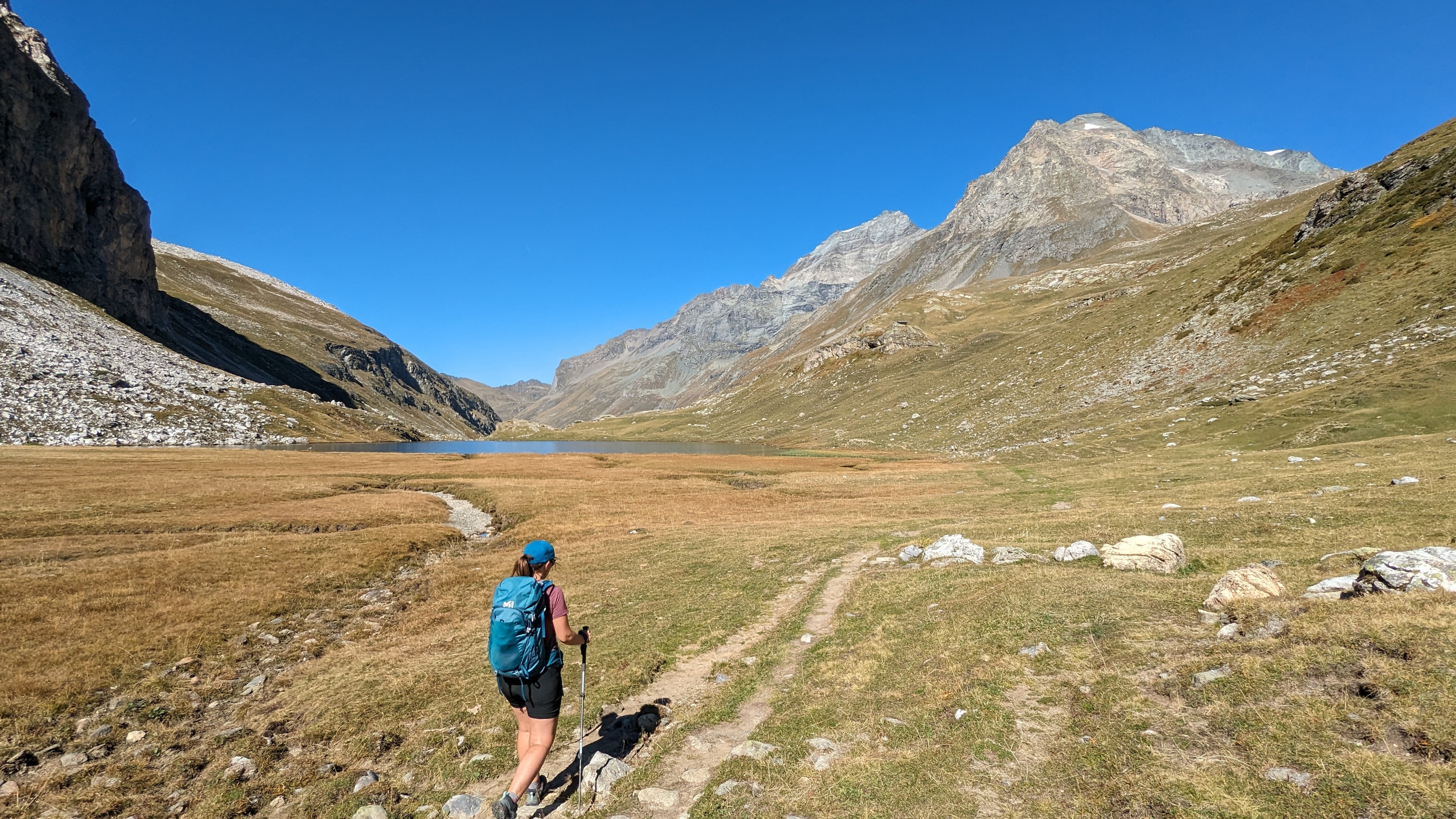
I am on the path overlooking Lac de la Plagne when the pair of bearded vultures arrive right in my line of sight. I hear their wings ripping through the air. What a privilege it is to see! Marie-Laure Tonnelier, Vanoise National Park Ranger.
Description
Leave the Refuge-Porte de Rosuel in the direction of the bottom of the valley on the GR®5. We leave the discovery trail on the right and rise through the scree and then alder grove. The easy-going path quickly turns steep with some sections requiring your full attention. The bypass of the foothills of the Aiguille Motte (1,916 m in altitude) marks the bend of the path that follows the left bank of the Ponturin torrent. Follow this path to Lac de la Plagne and then to Refuge d’Entre-le-lac. Just above the refuge, there is a ramp to cross the right bank on the Plan de La Grassaz. After a short climb you will find the GR®5 and can begin the descent to the locality of “Des Pertes du Ponturin”. The return path is the same as taken for the climb.
- Departure : Car park at the Refuge-Porte de Rosuel
- Arrival : Car park at the Refuge-Porte de Rosuel
- Towns crossed : PEISEY-NANCROIX
Forecast
Altimetric profile
Sensitive areas
Along your trek, you will go through sensitive areas related to the presence of a specific species or environment. In these areas, an appropriate behaviour allows to contribute to their preservation. For detailed information, specific forms are accessible for each area.
Bearded vulture
- Impacted practices:
- Aerial, , Land, Vertical
- Sensitivity periods:
- JanFebMarAprMayJunJulAugNovDec
- Contact:
Recommandations
Stop at the Refuge-Porte de Rosuel to take advantage of the “Point-Info Vanoise” (Information desk) and the recommendations of the National Park hostess, as well as the exhibition space.
Is in the midst of the park
The national park is an unrestricted natural area but subjected to regulations which must be known by all visitors.
Information desks
Transport
"Rail connection to Bourg-Saint-Maurice. Information: www.voyages-sncf.com
Shuttle bus services available from Bourg-Saint-Maurice railway station to the village of Peisey-Nancroix.
Information: www.transavoie.com
Also think about car-sharing with www.mobisavoie.fr"
Shuttle bus services available from Bourg-Saint-Maurice railway station to the village of Peisey-Nancroix.
Information: www.transavoie.com
Also think about car-sharing with www.mobisavoie.fr"
Access and parking
Leave the national road leading to Bourg-Saint-Maurice approximately 1 km after Bellentre in the direction of Landry (D 87 road on the right). Follow the D 87 which gœs back up the valley for 7 km, pass Peisey-Nancroix and continue on the by-road. Ÿou will reach the car park of the Refuge-Porte de Rosuel in about 15 minutes.
Parking :
Rosuel car park
Accessibility
Two parking spaces reserved for disabled users and Refuge-Porte de Rosuel certified
”Accessible Tourism” for the four types of disability.
”Accessible Tourism” for the four types of disability.
- Emergency number :
- 114
More information
10 points of interest
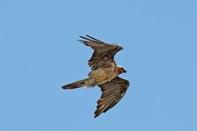
Gypaète barbu : mâle adulte imparfait, dans sa 5e année. - PNV - PLOYER Jean-Yves  Fauna
FaunaThe bearded vulture
The Bearded Vulture (Gypaetus barbatus) has a wingspan of 2.80 m and feeds mainly on bones! Falsely attributed with demonic powers, the bearded vulture was completely exterminated from the Alps at the beginning of the 20th century. Its return is the result of an international reintroduction programme supported by Europe. The bearded vulture has been established in the valley since 2004. It is highly sensitive to disturbances, information is therefore provided on site with guidelines on how to ensure its eyrie remains a peaceful place in case of reproduction.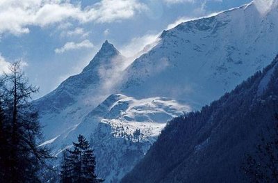
Ambiance hivernale sur la face N de líAliet (à g.) et du Sommet de Bellecôte (à dr.). - PNV - JORDANA Régis  Summit
The Dôme de Bellecôte and Aliet
"Upon departing, on your right, you follow the Dôme de Bellecôte (3,417 m in altitude). In winter, several of the paths facing you are used for off-piste skiing from the area of La Plagne. At the eastern end, you can see the summit of Aliet (3,109 m in altitude). Its name came from ""alye"", meaning needle in Savoyard patois. From this point of view, it appears in the form of a pyramid of rock. It requires special climbing techniques to scale. It is rated as difficult."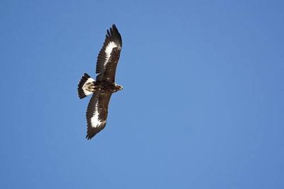
Aigle royal : juvénile de moins d'un an, en vol. - PNV - PLOYER Jean-Yves  Fauna
FaunaThe golden eagle
The golden eagle (Aquila chrysaetos) is a rare and protected species, although in recent years its numbers have been increasing in the Alps. At Peisey-Nancroix, it appears on the town’s coat of arms. The hike crosses through the territory of a pair of golden eagles. Monitored since 1973, it has already occupied 11 different eyries (term used to designate a bird of prey’s nests) and guided 35 young birds to take flight. It feeds mainly on marmots in summer and is content with carrion in winter.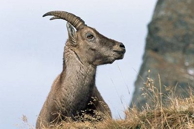
Etagne de bouquetin des Alpes. - PNV - JORDANA Régis  Fauna
FaunaUngulates
The Rosuel valley is particular for also welcoming the plains ungulates such as deer, rœ deer and occasionally wild boars on the low zones and those more specific to the mountain on the upper parts such as the chamois and ibex. However, the latter do not occupy the same areas according to the seasons and they leave the bottom of valley in the summer in favour of areas that are higher in altitude and cooler.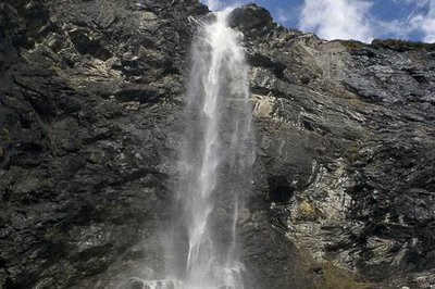
Cascade du Nant Putors et captage d'eau EDF. - PNV - FIMA Frédéric  Water
WaterWater inlets and kitchens
The water of the Gurraz waterfalls, in front of the Lanches de la Rèbe, is partially captured by Électricité de France and transported by an 8 km long tunnel under the Mont-Pourri massif to the artificial lake of Tignes. This tunnel was excavated in the fifties. The concrete ruins at the bottom of the valley are the remains of the kitchens which fed the workers during the excavation works.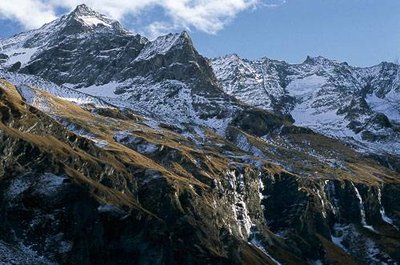
Vue sur les falaises des cascades (plus ou moins en glace), la Montagne du Carro, la Brèche Poccard, le Mont Pourri. - PNV - BALAIS Christian  Summit
Mont-Pourri
On the ascent to your left, you will see the Mont-Pourri which culminates at 3,779 m, making it the second highest peak of Vanoise after the Grande Casse. It was scaled for the first time by Michel Croz in 1861. Today the route passes conventionally through the Geay glacier that can be seen under the summit. At the foot of its moraine, the former refuge, where mountaineers slept until the 1970s, has been converted into a museographic space dedicated to the history of this summit.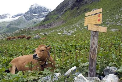
Vache de race Tarentaise. - PNV - MELE Stéphane  Pastoralism
The cows
More than 250 cows come from neighbouring villages or from further afield (Isère in particular) to summer in this mountain pasture. Here, different races co-exist: Montbéliarde, Charolais, Limousine, Tarentaise… These are cows that do not produce milk and instead are bred for heifers, breeding or meat cows. They arrive at the bottom of the valley, then climb at altitude as the grass grows, before gradually descending again. They are watched over by a herdsman, who will occupy different alpine chalets according to the progression of the herd.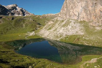
Le Lac de la Plagne. - PNV - BUCZEK Jessica  Lake
LakeLac de la Plagne.
The Lac de la Plagne is a particularly deep natural lake (19 m). It is currently privately managed and depends on the association of the Lacs de Montagne de Landry-Peisey which regularly stocks it. Brown trout, brook trout and lake trout populate its waters. The lake trout originated in northern America, in the area between the Great Lakes and Alaska and was introduced here in 1964. This species is monitored by tagging the young fish.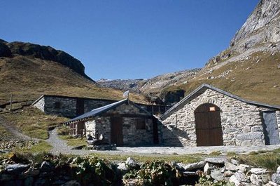
Refuge d'Entre le Lac. - PNV - FIMA Frédéric  Refuge
The Refuge d'Entre-le-lac
At 2,145 m in altitude, on the shores of Lac de la Plagne, an old sheep pen, owned by the town of Landry, was renovated as a refuge in 1980. Since then, the shepherd who farms the alpine pastures still stops there, but it is also guarded throughout the summer period, providing overnight and catering services for about 40 guests. Thanks to the two dairy cows on site, the refuge caretakers offer fresh dairy products daily.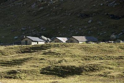
Chalets de la Plagne. - PNV - BALAIS Christian  Architecture
The chalets of La Plagne
"The hamlet of La Plagne includes a sheep pen, 2 stables, 2 covered market ruins, several dry stone walls and enclosures, a vaulted cellar and an old ruin to the south, evidence of an alpine pasture that has long been farmed. The cellar includes several engraved stones, one of which dates from 1772. The main buildings have been built on the slope, which protects them from avalanches. They still have, at least in part, a traditional mortar made of ""visible stones""."
