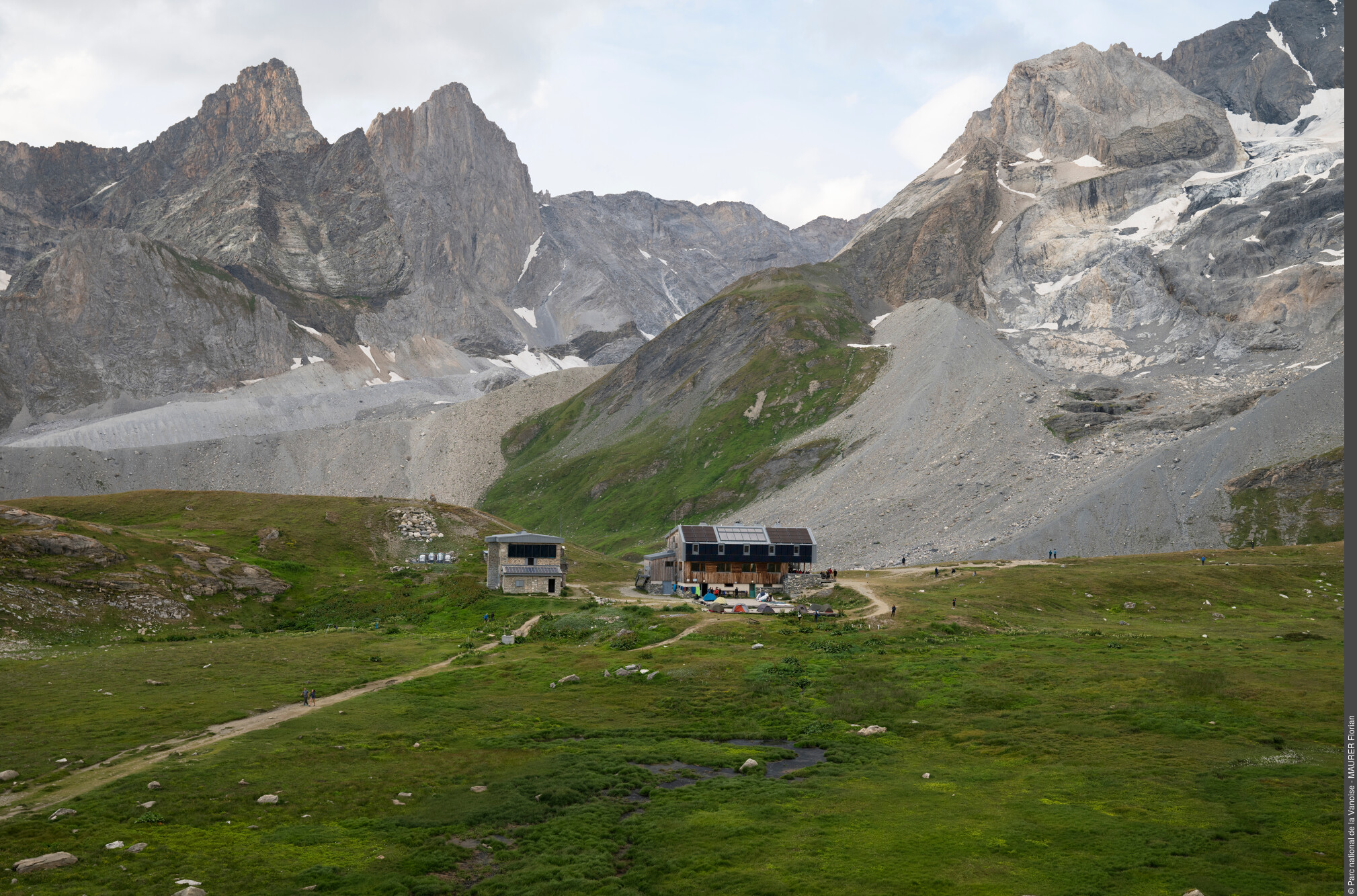
VAL D'ISERE
Challenging
5j
60,9km
+4332m
-4217m
Crossing
Embed this item to access it offline
Forecast
Altimetric profile
Sensitive areas
Along your trek, you will go through sensitive areas related to the presence of a specific species or environment. In these areas, an appropriate behaviour allows to contribute to their preservation. For detailed information, specific forms are accessible for each area.
Bearded vulture
- Impacted practices:
- Aerial, , Land, Vertical
- Sensitivity periods:
- JanFebMarAprMayJunJulAugNovDec
- Contact:
- Parc national de la Vanoise
Jérôme CAVAILHES - 06.89.17.78.02 jerome.cavailhes@vanoise-parcnational.fr
Bearded vulture
- Impacted practices:
- Aerial, , Land, Vertical
- Sensitivity periods:
- JanFebMarAprMayJunJulAugNovDec
- Contact:
Parc national de la Vanoise
Jérôme CAVAILHES - 06.89.17.78.02 jerome.cavailhes@vanoise-parcnational.fr
10 points of interest
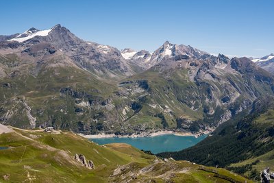
La Grande Sassière - Andy Parant  Summit
Tignes’ Great Ladies
Linger on the lakeshore awhile and look up at the mountain peaks around you… Magnificent, aren’t they? Can you recognise Tignes’ three” Great Ladies”?
You can make out the Grande Motte (3,653 metres), famous for its glacier (and incidentally the resort’s logo) and its neighbour the Grande Casse (3,855 metres) with its ridgeline and much more precipitous walls. And behind you, the Grande Sassière, France’s highest peak, is accessible in the summer with no need for climbing equipment: a hike that will take you 3,747 metres above sea level!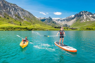
Lac de Tignes - Andy Parant  Lake
LakeTignes Lake
Frozen over in winter (you can cross it on foot!), Tignes’ natural lake turns itself into a playground in the summertime, ideal for sportspeople, families, fishermen and food lovers… On no account to be missed: Acroland, the watersports centre’s most mind-blowing facility! Equipped with wetsuit, helmet and lifejacket, thrill-seekers slide down the 7 hot-jumping tramps on their backs, bellies, bodyboards or inflatable buoys… before finally plunging into the lake. A refreshing spectacle indeed!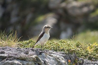
Traquet motteux : femelle en alerte sur son territoire. - PNV - POULET Laetitia  Fauna
FaunaThe wheatear
Among the birds that inhabit the alpine meadows, the wheatear is recognised in flight by the broad inverted T against a white background which colours the end of the tail. This far from shy insectivore only honours us with its presence in summer before flying back to its grounds in Africa in late summer.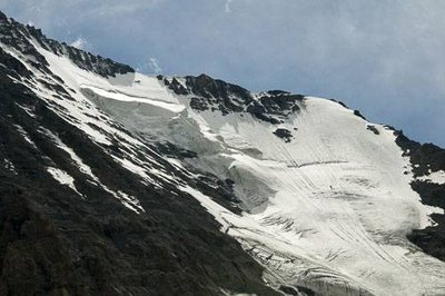
Vue sur le Couloir des Italiens en face N de la Grande Casse. - PNV - FOLLIET Patrick  Viewpoint
The north face of the Grande Casse
At the Col du Palet, you enter the restricted zone of the Vanoise National Park. Here, the view over the north face of the Grande Casse is impressive with its hanging glacier. Highest point of the Vanoise massif (3,855 m in altitude), this 900 m dark face is comprised of limestone derived from marine deposits. To its left, the summit of Grande-Motte and to its right, the Aiguille de l´Épena.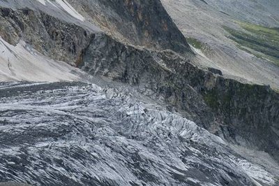
Le Glacier de l'Epéna. - PNV - GOTTI Christophe  Glacier
The glaciers
On the left bank (downhill) of the Glière valley, there are about ten glaciers. They resist melting thanks to the shadow of the mountains looming over them. Here you can see the cirque glaciers (Becca Motta, Nord de la Glière), glaciers of the slope (Volnets, Troquairou), the valley (Epéna, Rosolin, Roche du Tougne), restored glaciers (Pramort) and the ice cap (Grande Motte). They cover a surface of 12 km2.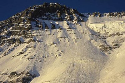
Face N de la Grande Casse. - PNV - GOTTI Christophe  History
Mountaineering
Unlike Pralognan-la-Vanoise, Champagny-en-Vanoise was very late to be visited by mountaineers. The high summits were first climbed by the easiest slope, from Pralognan (Grande Casse, Épéna and Grande Glière). Thus, the northern faces were only scaled later: the small northern face of the Grande Casse by the Puiseux brothers in 1887; the Couloir des Italiens in 1933 and the northern face of the Epéna in 1966. Other famous northern faces had to wait until the twentieth century to be scaled. Grandes Jorasses, Cervin and Eiger.
Meules de beaufort entreposées dans les locaux de stockage et d'affinage de la Coopérative laitière de Val Cenis. - PNV - NEUMULLER Christian  Pastoralism
Beaufort cheese
La Grande Plagne and its chalet of Plan du Sel is one of the places where the Beaufort d’Alpage is made. Raw whole milk, from tarentaise and abondance cows, is press-cooked, with at least 50% fat, moulded into a concave heel circle, before developing a natural crust which is strengthened by regular brushing. Each cheese weighs between 30 and 60 kg, with a diameter of 40 to 60 cm and a thickness of 12 to 16 cm. The Protected Designation of Origin imposes undeniable constraints, such as the obligation to manufacture cheese with the milk of a single herd twice a day. But it also ensures that quality farming in the high mountains is maintained which is essential to sustaining the Vanoise landscapes...and, in addition, is pleasing to the palate since this cheese is delicious!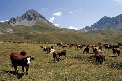
Troupeau de vaches de races Tarentaise et Abondance. - PNV - GARNIER Alexandre  Pastoralism
The mountain pasture of Grande Plagne
The alpine farmers lead the cows every year on to the mountain pastures of the Grande Plagne. At the chalet of Plan du Salt (2,250 m), the milk of the tarentaise and abondance cows (the only breeds authorised under the Beaufort PDO) is transformed into Beaufort d´Alpage over 100 days. The weak spot of this mountain pasture is the water resource. During periods of drought, the alpine farmer must obtain supplies downstream from the Refuge de la Glière, and pay for a number of trips to take up one tonne of water to the chalet.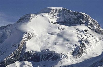
La Grande Motte, Champagny en Vanoise. - PNV - BENOÎT Philippe  Glacier
The Grande Motte (3,653m)
A magnificent glacial dome, visible from the valley of Champagny le Haut, the Grande Motte looms over the ski resort of Tignes. The Grande Motte cable car (3,450 m) serves the glacier of the same name, still used for summer skiing. This cable car’s pylon, visible along the length of the hike, is located in the municipal territory of Champagny-en-Vanoise. The STGM (Compagnie des Téléphériques de la Grande Motte) pays a fee each year to the town of Champagny-en-Vanoise.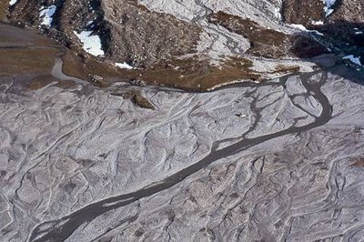
Le lac asséché de la Glière. - PNV - GOTTI Christophe  Lake
LakeThe Dry Lake of Glière
Above the Refuge de la Glière is an immense gravel pit. In 1818 a serac fall from the valley glacier created an ice dam on the Doron. The water accumulated upstream to form a lake several metres deep. The dam broke on the 15th June 1818, and the mass of water rushed into the valley, carrying all the bridges as far as Moûtiers. The thermal springs of Brides-les-Bains would have been rediscovered as a result of this debris flow. Following this disaster, a channel was dug to the west of the natural passage of the Doron.
