
Trail of Bonneval-Tarentaise
Description
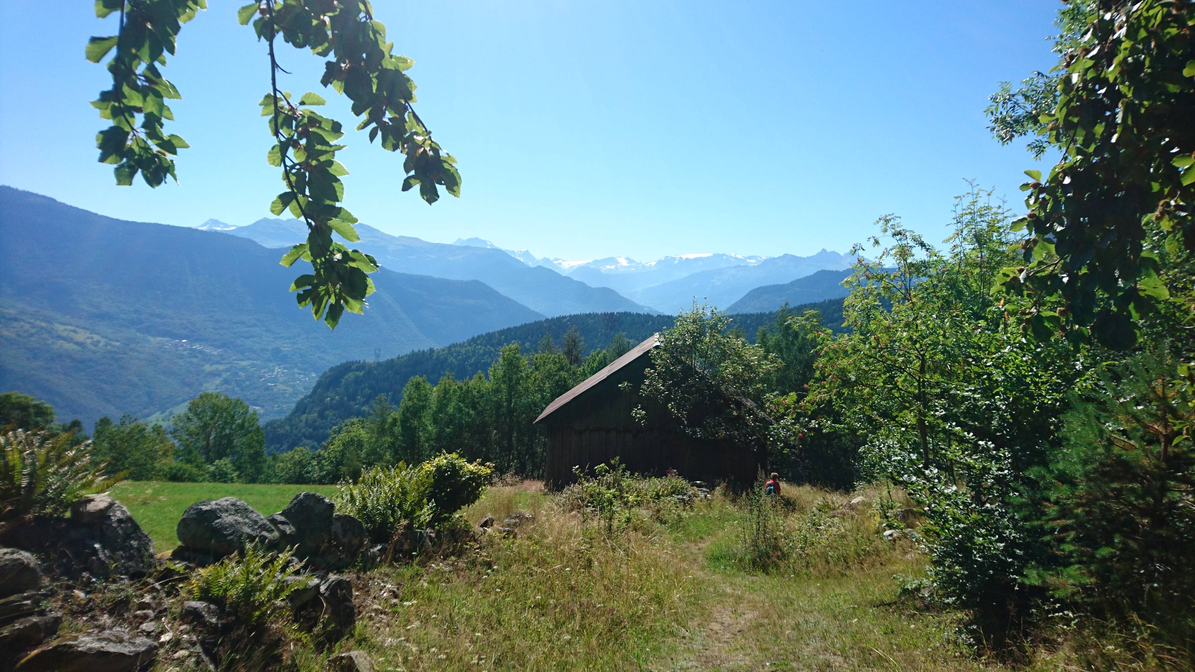
From the car park, go up into the village past the Auberge de l'Eau Rousse, then turn left over the last houses of the hamlet and take the path. At the flat, after the house in the meadow, stay on the path on the right.
Cross a forest until you reach the Mont d'en haut (1465m). Take the road towards the Pont de Gelon. Cross the Tartet stream (1602m) then continue to the Plan de Lay (1650m).
On the right the summits of the Pointe de Glais Rouge and the Arangles. Go down to the Pont de Gelon (1575m) which crosses the Villard stream. The forest landscape is transformed and gives way to green alder and high altitude lawns.
Take the path that leads to the summits, continue to the right towards the refuge des Pissus. Go up the valley of the Villard stream. Once at the 1965m point, follow the contour line to the left until you reach the 1970m peak. Turn right and go down the slope to the Lac du Loup (1925m) while respecting the possible presence of the Tarines.
Then follow the bottom of the watershed and, once you reach the path, turn left as far as the chalet de la Cave. The path continues on the right and follows the Ruisseau du Haut Gentil before branching off to the left and joining the Pont du Gelon bridge by a gentle descent.
Descend towards Villard Soffray via the Ramée. Pass down the road of the Plan de Lay and by the chemin de la Freidaz d'en Haut and d'en Bas (1280m) after crossing the road to the left.
At Villard Soffray (965m) continue along the RD, cross the bridge over the Tartet and take a path that climbs towards the Auberge de l'Eau Rousse not far from the car park.
- Departure : Church car park, Bonneval
- Arrival : Church car park, Bonneval
- Towns crossed : BONNEVAL-TARENTAISE
Forecast
Altimetric profile
Access and parking
From Albertville, RN90 (exit 36), D990 (through Feissons-sur-Isère) then left on D66 (towards Pussy/Bonneval/Celliers). Turn right onto the D213 and continue on the mountain road until you see the sign 'Bonneval' on the right.
From Moûtiers, RN90 (exit 36), turn left onto D990 then left again onto D66 (towards Pussy/Bonneval/Celliers). Turn right onto the D213 and continue on the mountain road until you see the sign 'Bonneval' on the right.
Parking :
Route planner
Accessibility
- Emergency number :
- 114