
Marathon of Lauzière
Description
The departure is from the heart of the resort of Valmorel, at the beach volleyball court. This course will take you from the Morel valley to the Eau Rousse valley before returning to your starting point.
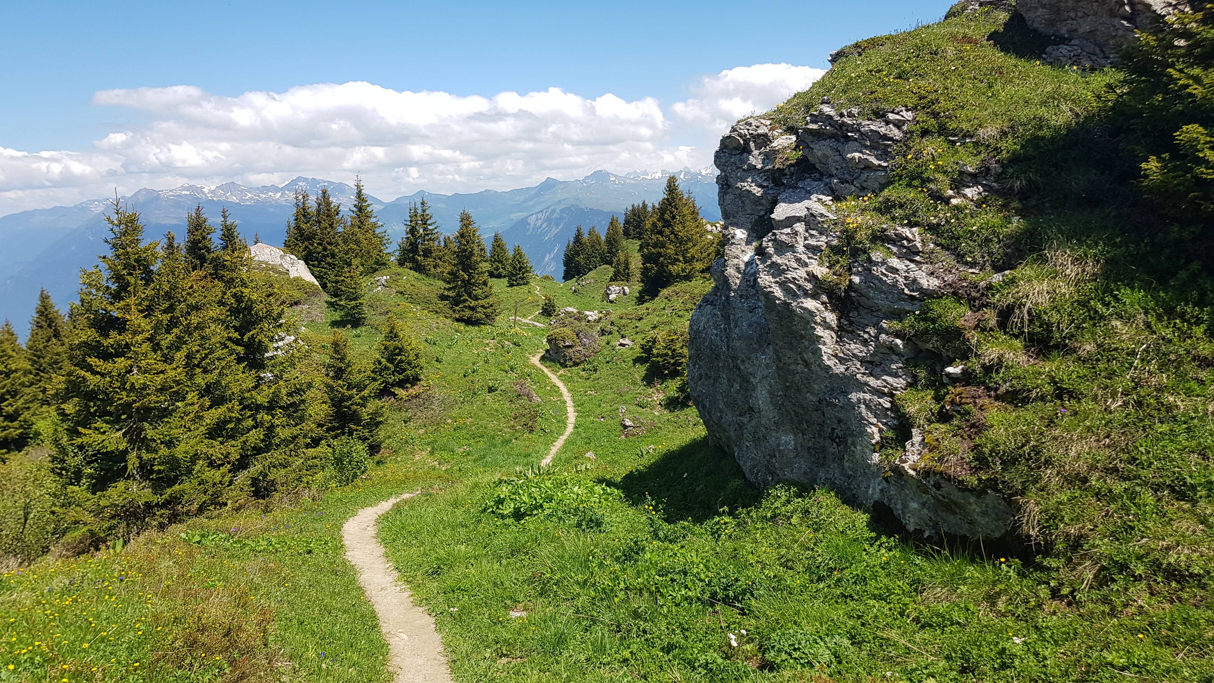
The first part of the 17kms trail (Crève-Tête trail run) leads to the highest point of the course, the summit of Crève-Tête (2342m). It is therefore, from the start, 7.6 kms and 1000m of elevation gain. At the top, enjoy the breathtaking view of the Lauzière massif where you will be running in a few hours!
20 minutes of sumptuous running will reward the effort by evolving on a ridge path, in weightlessness between the Belleville and Morel valleys.
Go down towards the resort of Valmorel and then up the centre village street before heading towards the Grange aux fées, a hotel at the exit of the resort and towards La Lauzière.
After this long descent towards the resort, the difficulties resume with a 1.5 km path and 250 elevation gain to access the Doucy sector. Take advantage of a one kilometre relaunch before plunging on your right at the indication "le petit Mussillon" towards Celliers-dessus and the Eau Rousse valley (km 22).
After 1.5km of technical and often wet trail, cross the torrent of Eau Rousse, pass through the village of Celliers-dessus (1360m) and start the second big difficulty of the day.
Enter the massive mineral Lauzière massif by an ascent of 5kms and 750 of elevation gain following a path in the direction of the Branley lake. At altitude 2110 and km 35 of the route, switch to the refuge of the Logis des Fées (1838m) via the Arpettaz lake.
Then direction Celliers-Dessus (km 39.5). Pass on the right bank of the Eau Rousse and enjoy a bit of coolness by taking a pretty path in the undergrowth which leads to the indication "Les Charmettes".
A few hundred metres to go and it is a breathtaking view of the cirque of Valmorel and the descent towards Quarantes Planes (1340m), a hamlet located in the "Centre of Savoie". The return to Valmorel is on the horizon.
It remains to complete 3.8 kms before the finish, to "swallow" a last bump of 700 metres and 70 of elevation gain and swoop down towards Valmorel.
- Departure : Beach volleyball court, Valmorel resort
- Arrival : Beach volleyball court, Valmorel resort
- Towns crossed : LES AVANCHERS-VALMOREL, SAINT-JEAN-DE-BELLEVILLE, and LA LECHERE
Forecast
Altimetric profile
Access and parking
From Albertville, RN90 (exit 37), RD97 (through La Léchère), then RD97A (through Bellecombe) then RD95 to Valmorel.
From Moûtiers, RN90 (exit 38), RD92 (through Aigueblanche), then RD94 to the roundabout, then RD95 to Valmorel.
Route planner
Accessibility
- Emergency number :
- 114
3 points of interest
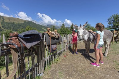
La ferme Valmo'Bourricot - Scalp-OTVVA 7  Pastoralism
Valmo'bourricot Farm
All sorts of animals live on this mini-farm - hens, geese, pigs, goats and rabbits ... Come and learn more about how they are reared in the mountain environment. You can even go for a donkey ride and take away some soap made from the milk of a jenny (female donkey). An ideal family outing!
Open in summer.
Price: €5. Free for under 3s. Admission included in the Pass'Aventure.
Children must be accompanied by a responsible adult.Valmo Bourricot, 73260, LES AVANCHERS VALMOREL
Tel: +33 (0)6.81.17.11.51 / +33 (0)6.77.61.49.65
https://www.valmorel-ane.fr/la-mini-ferme-de-valmo-bourricot/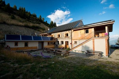
Le refuge Logis des Fées - CCVA  Refuge
Logis des Fées refuge
Perched at an altitude of 1,839m, this refuge is open all year round for meals. And while you're there, don't miss the sweeping views from outside!
Please book ahead for bed and board: +33 (0)4 79 22 13 64.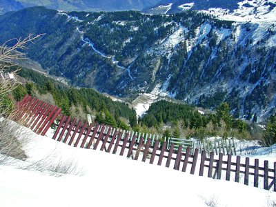
Le sentier des paravalanches - ONF_RTM  Architecture
A trail in discovery of the avalanche galleries
In wintertime, Celliers sits within a circle of avalanche paths. Considerable resources, as you will discover, have been harnessed to provide protection from these natural phenomena.
Ideal for the whole family, this 3.5km educational trail will help you to understand how communities first of all lived "with" avalanches before undertaking extensive work from the 1950s so that residents in the 5 hamlets could go about their lives safely all year round.