Trail of Logis des Fées
Description
The starting point is at the Refuge du logis des fées (1830m). Follow the road uphill to the point where the forest gives way to the high altitude grassland.
Take a right onto the “Sentier des Paravalanches” (pathway of the avalanche barriers). 1.5km further on, take the Chamois (mountain goat) pathway on your right, until arriving at the breath cutting lookout point over the adjacent valley, and maybe even spot a Chamois.
Keep on straight until joining up with the “Tour de la Lauzière” path and take a left to go back down to the Arpettaz Lake (1945m). A final steep hill will then take you to the Grand Plan (2110m), highest point of the trail.
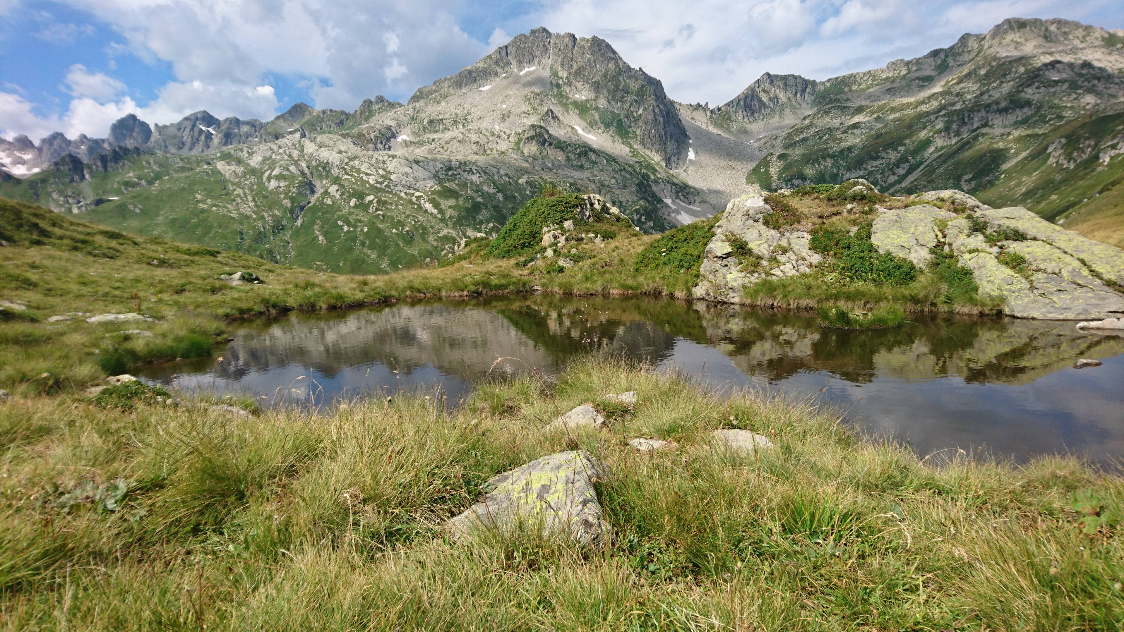
Dive back down towards the “Combe de Bridans” which holds the Branley Lake (2032m). This high altitude pool of water takes the shape of a snake-like river during the summer time. If you look up, you’ll see the Rognolet (2659m) and, in the distance, the Valmorel ski resort.
Follow the valley downhill and pass over the Bridan stream, pass by the Queigey chalet and, at the lowest point of the loop (1760m) take a final uphill stretch (800m for 55m+) on the south side of the “Combe de Bridan” until the finishing point.
- Towns crossed : LA LECHERE
Forecast
Altimetric profile
Access and parking
From Moûtiers, RN90 (exit 36), take a left on D990 and another left on D66 (towards Pussy/Bonneval/Celliers). Take a right on D213 and continue on the mountain road until Celliers dessus where, after exiting the hamlet, take a right at the sign ‘Logis des fées’.
Parking :
Accessibility
- Emergency number :
- 114
