
Trail of the Forêt de Feissons
Description
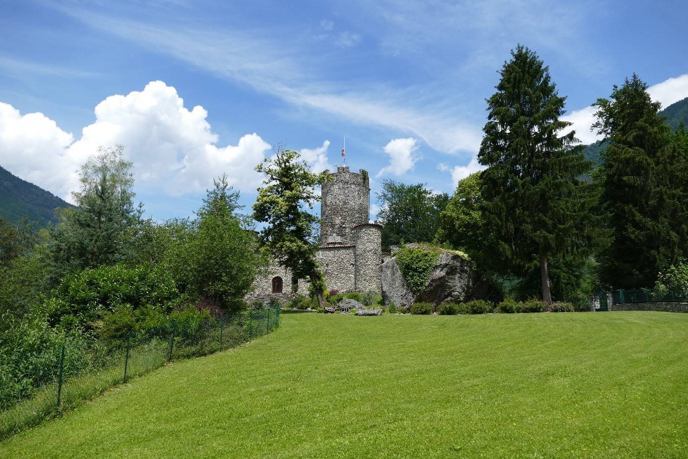
At the caste, take the main road for 300m then follow the path into the woods («Les Côtes» 510m). As the incline gets steeper, take a left hand turn after 1.5km, towards Grand Glaize. The forest gets denser and massive rock formations emerge as you get closer to Grand-Glaize (1040m).
The last few uphill meters are after a left-hand turn towards the TiIlet (1140m) until reaching the highest point (1168m), 4.2km into the run.
Continue down the hill and go through the stone houses of Planchang and then the localities of “du Mont” and “Chez Gardet” (650m).
The final stretch reaches the “Perrières” (484m) and re-joins the castle after 500m on the main road.
- Departure : Feissons castle
- Arrival : Feissons castle
- Towns crossed : FEISSONS-SUR-ISERE and LA LECHERE
Forecast
Altimetric profile
Access and parking
From Moutiers, follow N90 towards D990 to Feissons-sur-Isère. Take exit 36 and leave N90. Go through the Feissons-sur-Isère village. After the town hall (on your left), take the first road on your right and continue up to the castle.
From Albertville, the D990 towards Feissons-sur-Isère. Take exit 36 and continue on D990 which is on your right. Take the first road to your left and enter the village. At the end of the road, take a left and, at the next intersection, take a right and continue up to the castle.
Parking :
Route planner
Accessibility
- Emergency number :
- 114