
Trail of Crève-Tête
Description
Starting from the Beach volley-ball pitch, take a first, quite steep, path up through agricultural lands, forests and alpine pasture lands.
After the first 3.4kms, arrive at the Bachals chalet (1620m) onto a gravel road for a few hundred meters. Then begins the uphill trail which will take you to the Col du Gollet (1980m) through the “hunter’s” path.
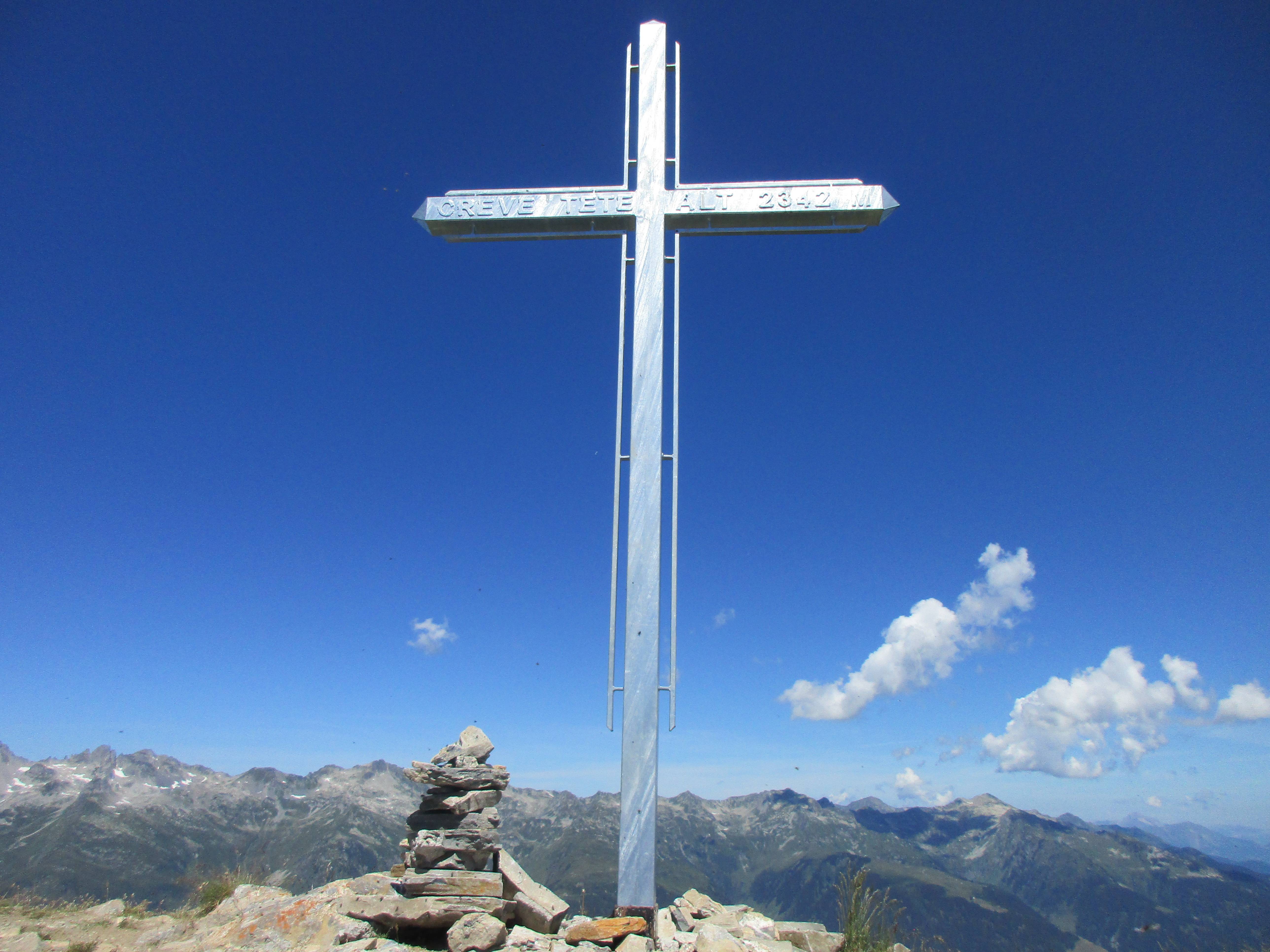
Reach Crève-Tête (2384m) (literally “Punctured-head”) after a challenging 1.7 km and 360 m+ incline.
The fantastic 360° view is one of the most sought-after spots of the area: the Lozière Massif and the Morel Valley on one side, the Belleville Valley and the Vanoise glaciers behind and, to the east, the Nâves Valley and the Mont-Blanc.
After a break at the top, start back off with running along the ridge between the Morel Valley and the Belleville Valley.
The way down goes through a technical woodland path. After going past the Pierre Larron chalet and taking a right turn at the 4 Chemins (4 paths), descend to the Charmettes hamlet (1220m), lowest point of the trail. Join back up with Valmorel 3km further on.
- Departure : Valmorel ski resort, beach volley-ball pitch
- Arrival : Valmorel ski resort, beach volley-ball pitch
- Towns crossed : LES AVANCHERS-VALMOREL and SAINT-JEAN-DE-BELLEVILLE
Forecast
Altimetric profile
Access and parking
From Albertville, RN90 (exit 37), RD97 (through La Léchère), then RD97A (through Bellecombe) then RD95 until Valmorel.
From Moûtiers, RN90 (exit 38), RD92 (through Aigueblanche), then RD94 until the round-about and RD95 until Valmorel.
Parking :
Route planner
Accessibility
- Emergency number :
- 114