
Trail of l'Eau Rousse
Description
Leave from the upper car park of the resort. The first three kilometres are identical to the "Centre de la Savoie" route.
Walk on an undergrowth path, following the ski run back to the resort, on a few sections. The two trails separate after 3kms and 240 of elevation gain accomplished.
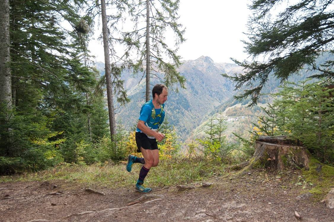
Continue on the ski slope for 1km then take a 1.5km carriage track to the highest point of the route (1609m), with a view of the Lauzière Massif.
Descend to Celliers and the Eau Rousse valley, named after the torrent which rises in the Lauzière massif. The path changes valley from the Morel valley to the Eau Rousse valley by going down a 2kms footpath, which is wild, often wet and quite technical.
Turn right for the return. Take the "Rochette" path which gains elevation until the exit of this wooded and humid environment at the indication "Les Charmettes" 2kms further and 190 of elevation gain.
Leave the woods and turn left. Go down on 1Km the path climbed on the same way that lead you up.
At kilometre point 10.5, join the "Centre de la Savoie" trail and go down for 2.5kms towards the finish and the resort of Doucy.
- Departure : Doucy ski resort, top car park
- Arrival : Doucy ski resort, top car park
- Towns crossed : LA LECHERE and LES AVANCHERS-VALMOREL
Forecast
Altimetric profile
Access and parking
From Albertville, RN90 (exit 37), RD97 (through La Léchère), then RD94 until Doucy ski resort.
From Moûtiers, RN90 (exit 38), RD92 (through Aigueblanche), then RD94 until Doucy ski resort.
Parking :
Route planner
Accessibility
- Emergency number :
- 114