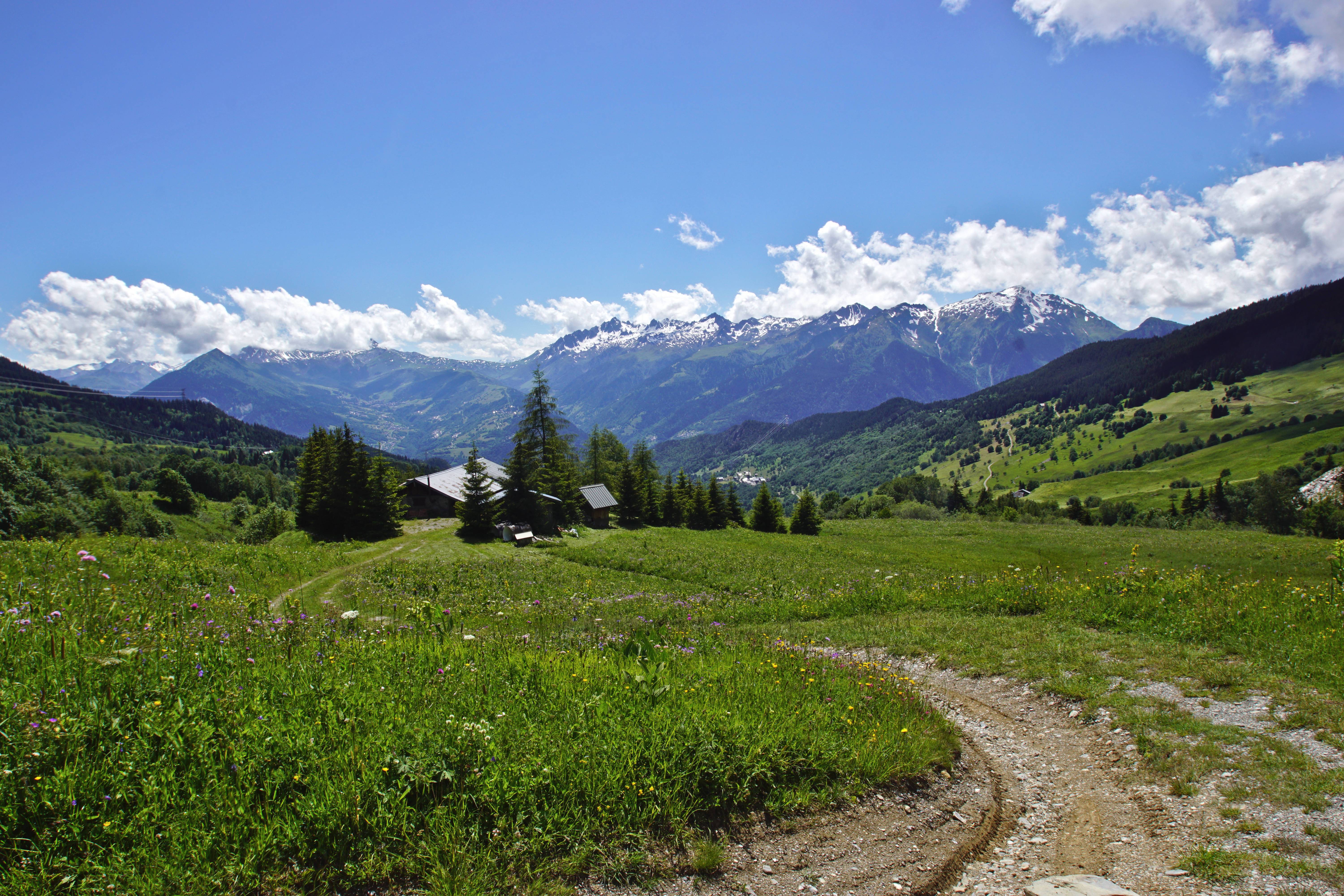
Trail of Cirque de Nâves
Description
After the Grand-Nâves bridge, take a left turn. The trail begins 100m further on.
Take the "Grand-Nant de Nâves" trail itinerary which follows the stream uphill. This section is steep: 636m “positive” in the first 5km. On your left, you’ll see the rock formations of the Roche du midi and, to your right, the summit of the Roc Marchand (2098m).
After going past the Nant du Beurre refuge (2080m), follow the track for 1.2km up to the Grand-Crétet (2292m).
Keep on going until the Dzonfié peak (2455m), 1.3km further on. Here is the most spectacular view of the trail with a 360° view of the surrounding mountain ranges.
Next step is the Col du Vâ (2222m), 3km downhill and then back up and around (for security reasons) the Quermoz peak (2292m).
Here you’ll find a great view of the Vanoise glaciers and, in the distance, the Petit-Saint Bernard col, one of the gateways to a neighbouring transalpine valley.
Keep on until the Bozon col (2054m) to then reach a lake which holds the same name.
The path goes through nice subalpine shrubberies for around 2km before reaching a Nordic skiing slope, leading to the Tovet chalet.
A final 1.4km and 240m downhill stretch will bring you back to the Grand-Nâves village.
- Departure : Grand-Nâves, village
- Arrival : Grand-Nâves, village
- Towns crossed : LA LECHERE, AIME-LA-PLAGNE, AIGUEBLANCHE, and HAUTECOUR
Forecast
Altimetric profile
Access and parking
From Albertville, follow N90, take exit 37 towards La Léchère and continue on D990. At the Carbone Savoie factory, take a left on « rue de la Digarde ». Go through Petit Cœur and keep on D93 to Nâves.
From Moutiers, follow N90 and take exit 37 towards Petit Cœur. Go through the hamlet and keep on D93 to Nâves.
Parking :
Accessibility
- Emergency number :
- 114
