
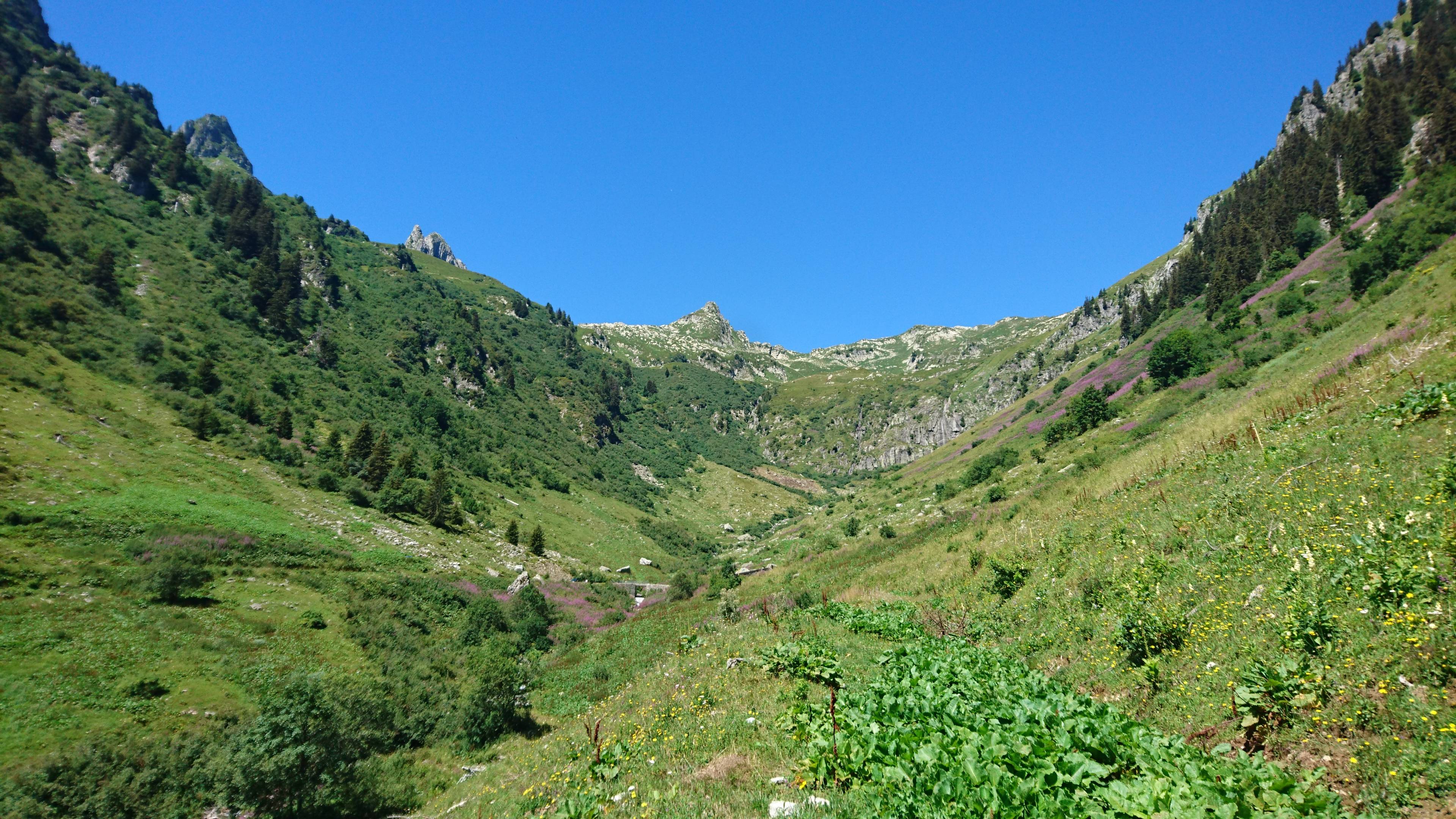
Trail of Tour des Grands Monts
BONNEVAL-TARENTAISE
Trail of Tour des Grands Monts
Difficult
1h
9,9km
+732m
-743m
Loop
Embed this item to access it offline
Description
From the car park, go through the village by passing in front of the Eau Rousse hostel and take a left right after. Continue on the forest path which sometimes cuts across the road which leads to the ‘Mont d’en Haut’.
At 1465m, follow the road which goes to the ‘Plan de Lay’ and the Gelon Bridge. Pass over the Tartet River at 1602m and then go down to the Gelon Bridge at 1575m to pass over the Villard Stream. At this point, the forest turns into high altitude alpine pastures.
Join up with the Villard Soffray hamlet by going through the Ramée. Once at Villard Soffray, follow along the main road, cross the bridge above the Tartet and, a few meters further on, take the path which joins back up with Bonneval.
- Departure : Bonneval, church
- Arrival : Bonneval, church
- Towns crossed : BONNEVAL-TARENTAISE
Forecast
Altimetric profile
Access and parking
From Albertville, RN90 (exit 36), D990 (through Feissons-sur-Isère) then take a left on D66 (towards Pussy/Bonneval/Celliers). Take a right on D213 and continue on the mountain road until the sign for 'Bonneval' to the right.
From Moûtiers, RN90 (exit 36), take a left on D990 and another left on D66 (towards Pussy/Bonneval/Celliers). Take a right on D213 and continue on the mountain road until the sign for 'Bonneval' to the right.
From Moûtiers, RN90 (exit 36), take a left on D990 and another left on D66 (towards Pussy/Bonneval/Celliers). Take a right on D213 and continue on the mountain road until the sign for 'Bonneval' to the right.
Parking :
Bonneval, church
Route planner
Accessibility
- Emergency number :
- 114