
Trail of the "Centre de la Savoie"
Description
The starting point is just west of the highest car park in Doucy ski resort (1280m).
Follow up the ski slope which leads to Doucy resort by taking the forest track. Make sure to warm up as the trail begins with a steep hill.
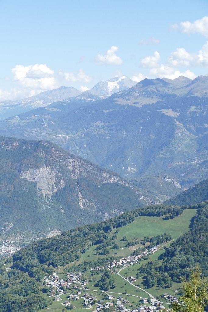
Follow the path for about 300 m in the forest which offers cool coverage. Then, take the ski slope uphill for around 1km before taking a left turn down towards the hamlet of Quarantes Planes, the “centre of the Savoie” region.
The downhill path to the “centre of the Savoie” is a nice 1.8km with a great view of the summits of the Valmorel cirque (Crève-Tête, Niélard point, the Cheval Noir). As you leave the hamlet, climb 120m uphill.
When the “Lachat” (1340m) sign is reached 2km further on, take a short steep path for 250m to reach the final descent back to Doucy resort.
- Departure : Doucy ski resort, top car park
- Arrival : Doucy ski resort, top car park
- Towns crossed : LA LECHERE and LES AVANCHERS-VALMOREL
Forecast
Altimetric profile
Recommandations
Parts of this trail follow the same tracks as the “EDF Trail des Vallées d’Aigueblanche (ETVA)”, race which takes place every second weekend of October.
Access and parking
From Albertville, RN90 (exit 37), RD97 (through La Léchère), then RD94 to Doucy ski resort.
From Moûtiers, RN90 (exit 38), RD92 (through Aigueblanche), then RD94 to Doucy ski resort.
Parking :
Route planner
Accessibility
- Emergency number :
- 114